Products

28 Results Collapse
Mercury 5M GIS Conversion v2 thumbnail

Mercury 5M GIS Conversion v2

application/zip 710 MBMay 16 2016

These polygons are beased on the original created 1:5M geologic maps for Mercury as published in the late 80's and early 90's as created by several authors. The original GIS conversion was completed…

Mars Viking Colorized Global Mosaic 232m v2 thumbnail

Mars Viking Colorized Global Mosaic 232m v2

application/isis 12 GBFeb 02 2009

Product Information: This global image map of Mars has a resolution of 256 pixels/degree (scale approximately 232 meters per pixel (m) at the equator). The colorized mosaic was completed by NASA…

Viking MDIM2.1 Grayscale Global Mosaic 232m thumbnail

Viking MDIM2.1 Grayscale Global Mosaic 232m

application/isis 4 GB

This global image map of Mars has a resolution of 256 pixels/degree (scale approximately 231 m/pixel at the equator). The black-and-white mosaic is processed to emphasize local topographic features.…

Mars Mariner 9 5M Quads GIS Conversion thumbnail

Mars Mariner 9 5M Quads GIS Conversion

application/zip 44 MB

The 1:5,000,000-scale, Mariner-9 geological maps were the first to divide mars into 30 discrete latitudinal and longitudinal areas called the ‘Mars Charts’ (MCs) (Skinner et al., 2006, Gaither et…

Mercury Reference Mosaic thumbnail

Mercury Reference Mosaic

application/pdf 7 MBDec 31 2023

Mars Controlled Mosaic of the Canberra Region thumbnail

Mars Controlled Mosaic of the Canberra Region

application/pdf 6 MBOct 16 2023

Mars Controlled Mosaic of the Yorktown Region thumbnail

Mars Controlled Mosaic of the Yorktown Region

application/pdf 8 MBOct 16 2023

Project Pages

6 Results Collapse
Moon Control Networks thumbnail

Moon Control Networks

http://astrogeology.usgs.gov/maps/control-networks/moon

Lunar Orbiter Lunar Control Network 2004 The USGS worked to digitize and restore a global set of Lunar Orbiter images and to assemble this into a global digital Lunar Orbiter mosaic of the Moon. A…

Mars Control Networks thumbnail

Mars Control Networks

http://astrogeology.usgs.gov/maps/control-networks/mars

The U.S. Geological Survey has recently completed a final revised version of its 231 m/pixel global Viking image mosaic of Mars that has substantially improved geodetic accuracy compared to versions…

Three Decades of Martian Surface Changes thumbnail

Three Decades of Martian Surface Changes

http://astrogeology.usgs.gov/geology/mars-surface-changes

The surface of Mars has changed dramatically during the three decades spanned by spacecraft exploration. Comparisons of Mars Global Surveyor images with Viking and Mariner 9 pictures suggest that…

Mars Dunes

http://astrogeology.usgs.gov/geology/mars-dunes

Sand dunes are among the most widespread aeolian features present on Mars, serving as unique indicators of the interaction between the atmosphere and surface. On a planetary body, dunes accumulate…

Mars Science Laboratory - Landing Site Selection thumbnail

Mars Science Laboratory - Landing Site Selection

http://astrogeology.usgs.gov/maps/mars-science-laboratory-landing-site-selection

Image Information and Instructions The ISIS cube file can be loaded into JMars as a custom map. You can download JMars at the following site: http://jmars.asu.eduFor instructions on how to load a…

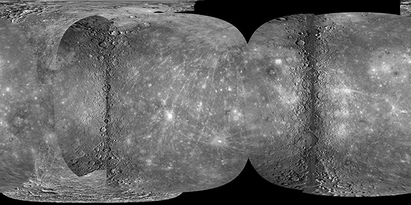
Mercury MESSENGER Global Mosaic thumbnail

Mercury MESSENGER Global Mosaic

http://astrogeology.usgs.gov/maps/mercury-messenger-global-mosaic

Coverage Percentages for MESSENGER and Mariner 10 Data SetSurface Area (km2)Coverage (%) Mercury 74,822,795 100.0 M1+M2 64,323,084 85.97 M1+M2+M3 68,014,600 90.90 M3 New…