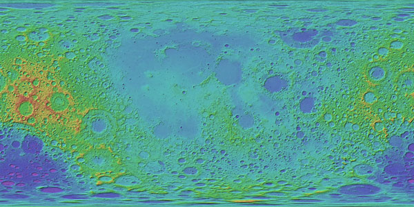
The PDS Cartography and Imaging Sciences Node (“Imaging” or IMG) Annex is a data portal designed to support the public delivery of NASA-funded geospatial data products derived from PDS image data. Examples of geospatial derived products are cartographic and thematic maps of moons and planets, local and regional geologic feature maps, topographic and perspective views of planetary landing sites, and tabular data containing feature or unit information derived from planetary data. Many of these products have been developed as a result of NASA data analysis programs, often years after active missions (and their accumulating archives) have ended. As of January 2017, the Annex is considered PDS-Equivalent by NASA as a long-term data repository. It is our intention to migrate all PDS data products served via the Annex to PDS4-compliant archives.
The image data formats in the Annex are both PDS3 and PDS4 compliant, with the majority served as 8-bit or 16-bit GeoTIFF (internally "raw") with detached PDS3 and ISIS3 headers. In this format, these files are PDS4 2D “arrays” (see Section 4.2.1, starting on text page 12 for a summary of PDS4-compliant data formats). Such a PDS4-compliant GeoTIFF image format is the preferred format for map-projected raster data, including products such as optical image, digital terrain models (DTMs), and derived maps of parameters such as geophysical variables and mineral abundances. This GeoTIFF format supports PDS4-compliant map projections, band interleave conventions, and bit depths. Browse images in the Annex are typically served as JPEG (.jpg). Compressed image files (e.g., JPEG2000) are not PDS4 compliant and must be converted to compliant formats. For more on GeoTIFF in PDS4 see the (Guide to Archiving TIFF/GeoTIFF Files in PDS4 as Observational Products). PDS4 archive structures and labels for all PDS data served via the Annex data are under development.
Data formats and structures that are proprietary (e.g., ArcMap geodatabases, shapefiles) are not PDS4 compliant. However, geodatabase components can typically be archived in PDS separately in PDS4-compliant formats as tables, image arrays, etc. For archiving GIS vector data (e.g., shapefiles), the PDS Management Council approved use of a "GeoCSV" solution (see info here and presentation here) for archiving GIS shapefiles in a PDS4-compliant format. The PDS Cartography and Imaging Sciences Node team is now developing a PDS4-formatted archive with bundles, collections, and XML-labeled GIS products to serve as an example for the PDS and planetary science community. Please refer to this page for updates on the progress of these efforts.
For further information, please read:
- Gaddis, L.R., T.M. Hare, M. Bailen, S.K. LaVoie (2012) The Astropedia Annex for the PDS Imaging Node---A Repository for Planetary Research Products, in Summary and Abstracts of the Planetary Data Workshop (Gaddis, L.R., Hare, T., and Beyer, R. editors, 2014), June 2012: USGS Open File Report 2014-1056, 199 p., https://dx.doi.org/10.3133/ofr20141056., (See abstract, p. 65 here; and Presentation)
- Hare, T.M., L.R. Gaddis, M.S. Bailen, S.K. LaVoie (2013) AstropediaAnnex:A PDS Imaging Node Repository for Geospatial Planetary Research Products, 44th Lunar and Planetary Science Conference, abs. #2044.
- Hare, T.M., L.R. Gaddis, M. Bailen, S.K. LaVoie, J. Padams (2015) PDS Annex: A PDS Imaging Node Repository for Geospatial Planetary Research Products, 2nd Planetary Data Workshop, abs. #7060.


