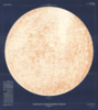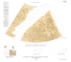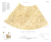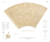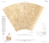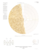
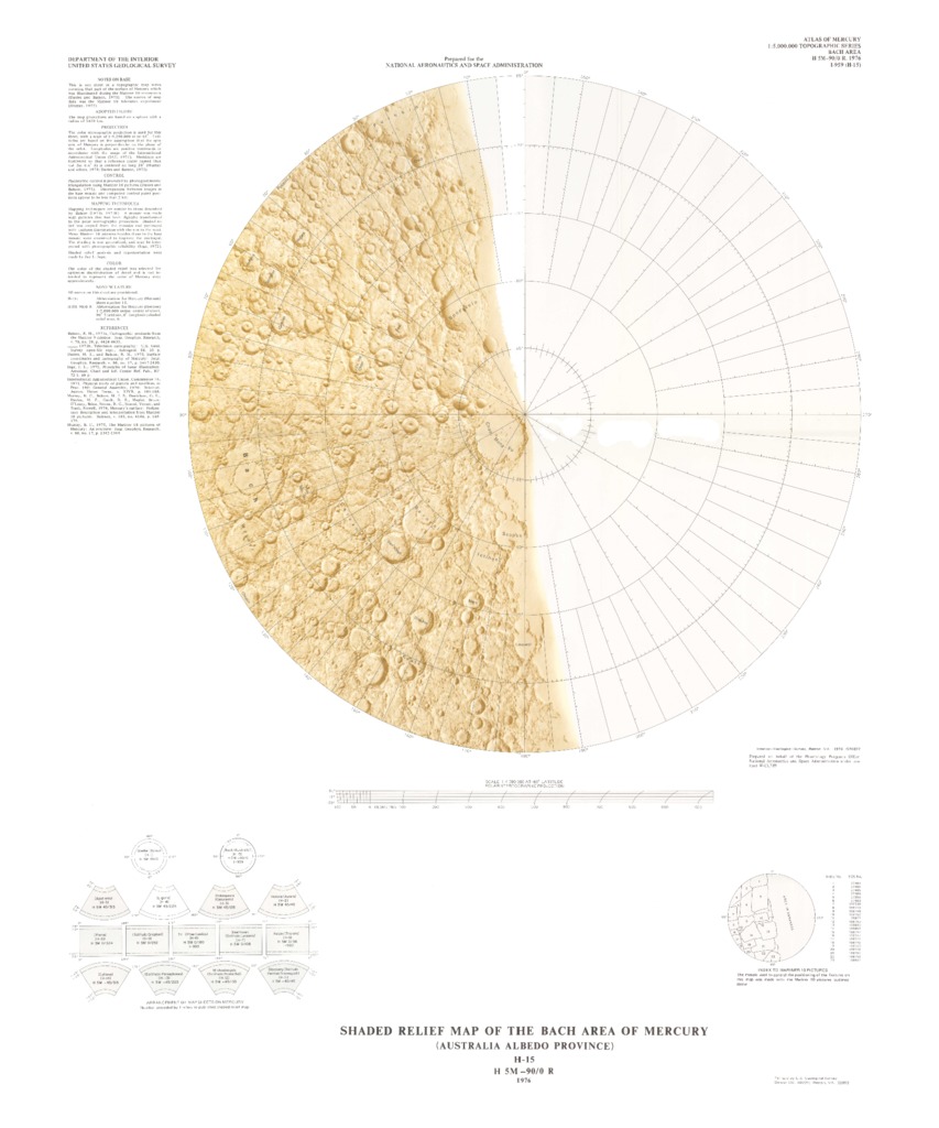
Mercury Shaded Relief Map of the Bach Area
- Mimetype
- application/pdf
- Filename
- Mercury-Shaded-Relief-Map-of-the-Bach-Area.pdf
- Publisher
- USGS Astrogeology Science Center
- Originator
- Group
- RPIF
- Added to Astropedia
- 1 April 2016
- Modified
- 9 November 2017
General
- Geospatial Data Presentation Form
- Shaded-Relief Map
- Series Id
- 959
Keywords
- Target
- Mercury
- Theme
- Cartography, Remote Sensing, Topography
- Mission
Contact and Distribution
- Access Instructions
- 1 map :col. ;46 cm. in diameter fold. in envelope 30 x 24 cm.
Geospatial Information
- Minimum Latitude
- -90
- Maximum Latitude
- -65
- Minimum Longitude
- 0
- Maximum Longitude
- 360
- Quad Name
- H-15