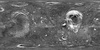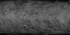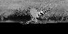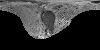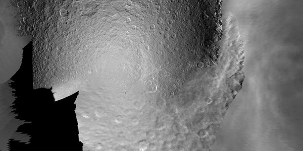
Saturn Satellites Voyager Global Image Maps
http://astrogeology.usgs.gov/maps/saturn-satellites-voyager-global-mapsThe following products were the first step of cartography planning in support of the Cassini-Huygens mission to the Saturian System. Five of Saturans moons are linked below in a standard cartographic…