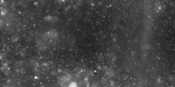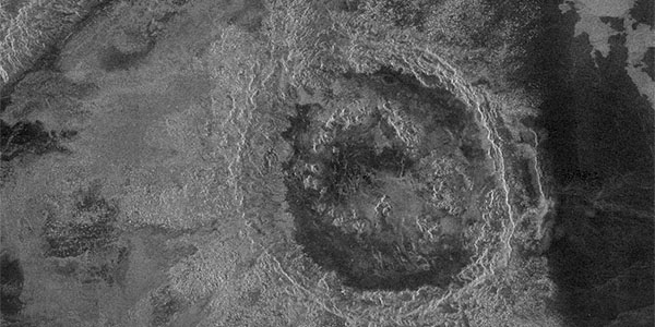
Venus Magellan Impact Crater Database
http://astrogeology.usgs.gov/geology/venus-magellan-crater-databaseThe Crater Database
The database tables include the name (where applied), coordinates, diameter, modification state, crater morphologic type, and mean elevation of 967 craters interpreted to be of…