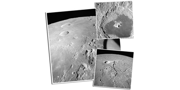
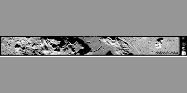
In the early 1970s, specialized cameras onboard the Command Modules of the last three Apollo missions (15, 16, 17) photographed nearly 25% of the Moon in stunning detail. Today, scientists from Flagstaff’s U.S. Geological Survey, Arizona State University, and NASA are working together to reconstruct the lunar surface from these nearly 50-year-old photographs.
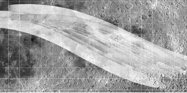
Producing accurate topographic maps of the Moon was a primary goal of the later Apollo flights to aid in the geological interpretation of photos taken on both Apollo and earlier unmanned missions and to evaluate potential future landing sites. The integrated photogrammetric mapping system included a Metric (mapping) Camera, a high-resolution Panoramic Camera, a star camera, and laser altimeter. The data acquired from this system remains relevant today. Apollo images can be compared to images acquired from later and current missions to study how meteorite impacts have changed the lunar surface over time.
To find out more…
Apollo 15 Oblique Metric Camera Processing…
Apollo 15 Panoramic Camera Processing…


