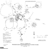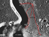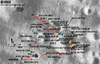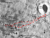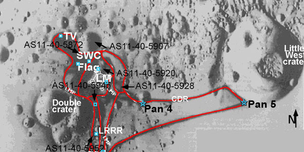
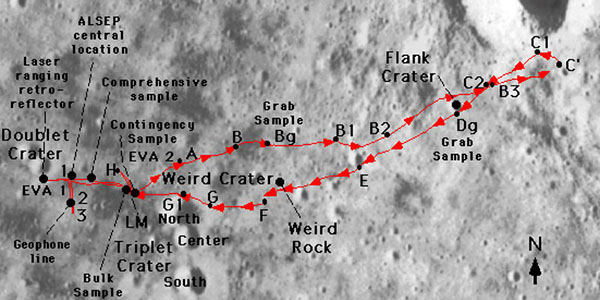
This page features several maps showing routes the astronauts took during extravehicular activities (EVAs). The imagery and maps were prepared as part of a project by a USGS team under funding from the USGS Technology Transfer Program and NASA's Planetary Geology and Geophysics Program. Dr. Christopher D. Condit (U. Massachusetts) and Mr. Richard Kozak provided scientific and technical assistance.