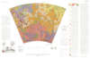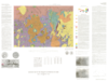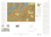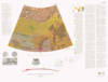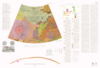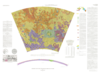
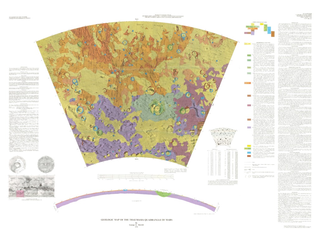
Mars Geologic Map of the Thaumasia Quadrangle
- Mimetype
- application/pdf
- Filename
- Mars-Geologic-Map-of-the-Thaumasia-Quadrangle.pdf
- Publisher
- USGS Astrogeology Science Center
- Publication Date
- 17 October 2019
- Originator
- G. McGill
- Group
- RPIF
- Added to Astropedia
- 3 May 2016
- Modified
- 6 December 2017
General
- Geospatial Data Presentation Form
- Geologic Map, Raster Data, Vector Data
- Series Id
- 1077
Keywords
- Target
- Mars
- Theme
- Cartography, Geology, Geomorphology, Photogeology, Stratigraphy, Planetary evolution
- Mission
Contact and Distribution
- Access Instructions
- 1 map :col. ;49 x 69 cm.
Geospatial Information
- Minimum Latitude
- -65
- Maximum Latitude
- 0
- Minimum Longitude
- 240
- Maximum Longitude
- 300
- Quad Name
- MC-9, MC-10, MC-17, MC-18, MC-24, MC-25, MC-26, MC-30
- Map Projection Name
- Lambert Conformal