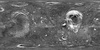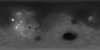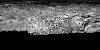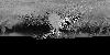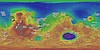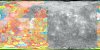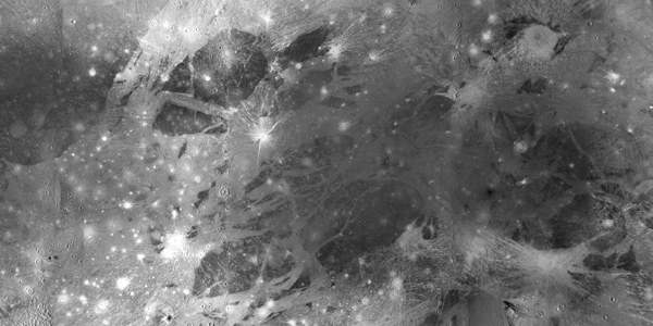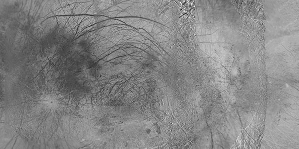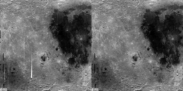
Moon Clementine NIR Global Map
http://astrogeology.usgs.gov/maps/moon-clementine-near-ir-global-mapBackground
In May and June of 1994, the NASA/DoD Clementine Mission acquired global, 11-band, multispectral data of the lunar surface using the ultraviolet-visible (UVVIS) and near-infrared (NIR)…