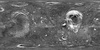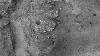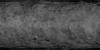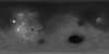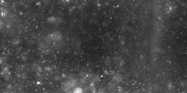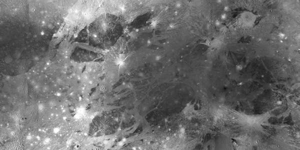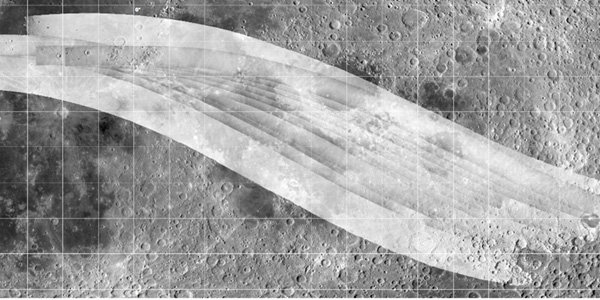
Moon Apollo Image Processing
http://astrogeology.usgs.gov/maps/moon-apollo-image-processingIn the
early 1970s, specialized cameras onboard the Command Modules of the last three
Apollo missions (15, 16, 17) photographed nearly 25% of the Moon in stunning
detail. Today, scientists from…