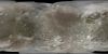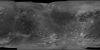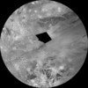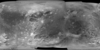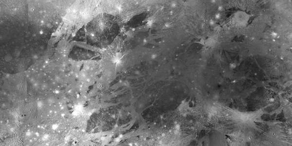
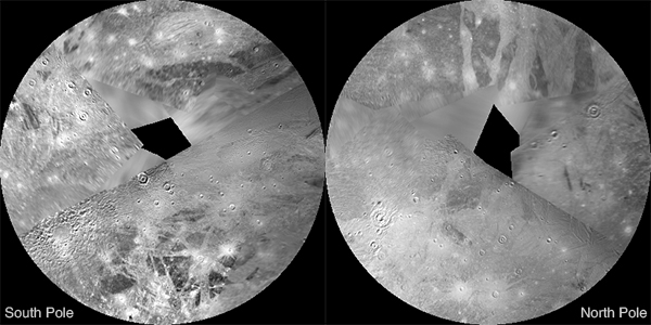
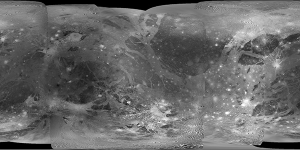
This global map base of Ganymede utilizes the best image quality and moderate resolution coverage supplied by Galileo SSI (Solid State Imaging instrument) and Voyager 1 and 2. The image processing was performed at USGS using the Integrated Software for Imagers and Spectrometers (ISIS) system. The image data was selected on the basis of overall image quality, reasonable input resolution (from 20 km/pixel for gap fill to approximately 400 meters/pixel), and availability of moderate viewing and sun angles for topography. The map projections are based on a sphere having a radius of 2632.345 kilometers.