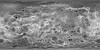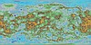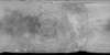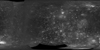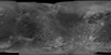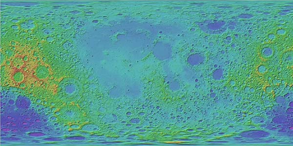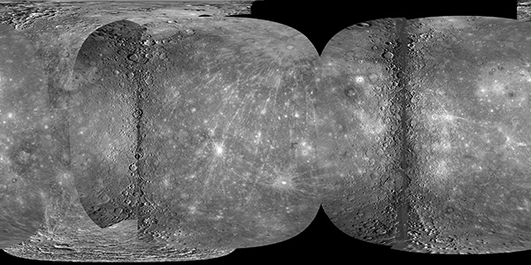
Mercury MESSENGER Global Mosaic
http://astrogeology.usgs.gov/maps/mercury-messenger-global-mosaicCoverage Percentages for MESSENGER and Mariner 10
Data SetSurface Area (km2)Coverage (%)
Mercury
74,822,795
100.0
M1+M2
64,323,084
85.97
M1+M2+M3
68,014,600
90.90
M3 New…