Products

1000 Results Collapse
Mars MER MI Image Mosaic 2MMB89IOLATANAAZP2956M2F1 thumbnail

Mars MER MI Image Mosaic 2MMB89IOLATANAAZP2956M2F1

image/tiff 3 MB

Pre-MB anaglyph of soil

Mars MER MI Image Mosaic 2MMB98IOLATORTB4P2956M2F1 thumbnail

Mars MER MI Image Mosaic 2MMB98IOLATORTB4P2956M2F1

image/tiff 4 MB

Pre-MB image mosaic of soil

Mars MER MI Image Mosaic 2MMC25IOLAUORTOOP2956M2F1 thumbnail

Mars MER MI Image Mosaic 2MMC25IOLAUORTOOP2956M2F1

image/tiff 5 MB

Post-MB image mosaic of rock

Mars MER MI Image Mosaic 2MMC51IOLAUORMCMP2956M2F1 thumbnail

Mars MER MI Image Mosaic 2MMC51IOLAUORMCMP2956M2F1

image/tiff 6 MB

Ortho mosaic of loose rock clast based on the digital elevation model

Mars MER MI Image Mosaic 2MMH96IOLAZDEMAQP2956M2F1 thumbnail

Mars MER MI Image Mosaic 2MMH96IOLAZDEMAQP2956M2F1

image/tiff 412 kB

Digital elevation model of rock

Mars MER MI Image Mosaic 2MMH96IOLAZORMAQP2956M2F1 thumbnail

Mars MER MI Image Mosaic 2MMH96IOLAZORMAQP2956M2F1

image/tiff 1 MB

Ortho mosaic of rock based on the digital elevation model

Mars MER MI Image Mosaic 2MMJ27IOLB1ORTDQP2956M2F1 thumbnail

Mars MER MI Image Mosaic 2MMJ27IOLB1ORTDQP2956M2F1

image/tiff 2 MB

Image mosaic of cliff and soil

Mars MER MI Image Mosaic 2MMJ82IOLB1ORTE5P2956M2F1 thumbnail

Mars MER MI Image Mosaic 2MMJ82IOLB1ORTE5P2956M2F1

image/tiff 5 MB

Image mosaic of soil

Mars MER MI Image Mosaic 2MMJ86IOLB1ORTE5P2956M2F1 thumbnail

Mars MER MI Image Mosaic 2MMJ86IOLB1ORTE5P2956M2F1

image/tiff 3 MB

Pre-MB image mosaic of soil

Mars MER MI Image Mosaic 2MMA67IFFB1ORME5P2936M2F1 thumbnail

Mars MER MI Image Mosaic 2MMA67IFFB1ORME5P2936M2F1

image/tiff 2 MB

Ortho mosaic of soil based on the digital elevation model

Project Pages

44 Results Collapse
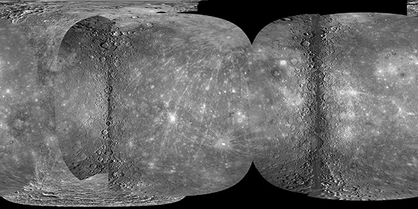
Mercury MESSENGER Global Mosaic thumbnail

Mercury MESSENGER Global Mosaic

http://astrogeology.usgs.gov/maps/mercury-messenger-global-mosaic

Coverage Percentages for MESSENGER and Mariner 10 Data SetSurface Area (km2)Coverage (%) Mercury 74,822,795 100.0 M1+M2 64,323,084 85.97 M1+M2+M3 68,014,600 90.90 M3 New…

Moon Clementine NIR Global Map thumbnail

Moon Clementine NIR Global Map

http://astrogeology.usgs.gov/maps/moon-clementine-near-ir-global-map

Background In May and June of 1994, the NASA/DoD Clementine Mission acquired global, 11-band, multispectral data of the lunar surface using the ultraviolet-visible (UVVIS) and near-infrared (NIR)…

Maps and Globes thumbnail

Maps and Globes

http://astrogeology.usgs.gov/maps/planetary-maps-and-globes

Download, print, and make your own planetary globes! The number, size, and placement of text annotations were chosen to provide a general orientation of prominent features on a 12-inch globe. …

Maps / Products thumbnail

Maps / Products

http://astrogeology.usgs.gov/maps

The Astrogeology Science Center's mission includes producing planetary maps and cartographic products which reveal topography, geology, topology, image mosaics and more, all made available to the…