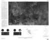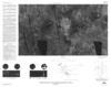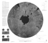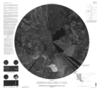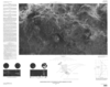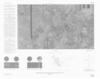

Venus in Four Map Sheets: The Sedna Planitia Region
- Mimetype
- application/pdf
- Filename
- Venus-in-Four-Map-Sheets-The-Sedna-Planitia-Region.pdf
- Publisher
- USGS Astrogeology Science Center
- Publication Date
- 6 January 1999
- Originator
- Group
- Added to Astropedia
- 4 April 2016
- Modified
- 3 November 2017
General
- Geospatial Data Presentation Form
- Regional Mosaic
- Series Id
- 2466
Keywords
- Target
- Venus
- Theme
- Cartography, Image Processing, Remote Sensing
- Mission
Contact and Distribution
- Access Instructions
- 4 remote-sensing images :some col. ;each 45 x 78 cm., on sheets 79 x 97 cm. and 72 x 85 cm., folded in envelope 30 x 24 cm.
Geospatial Information
- Minimum Latitude
- 25
- Maximum Latitude
- 50
- Minimum Longitude
- 330
- Maximum Longitude
- 360
- Quad Name
- V-19