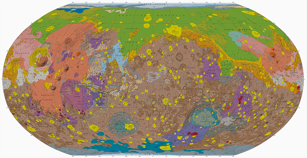
Mars Control Networks
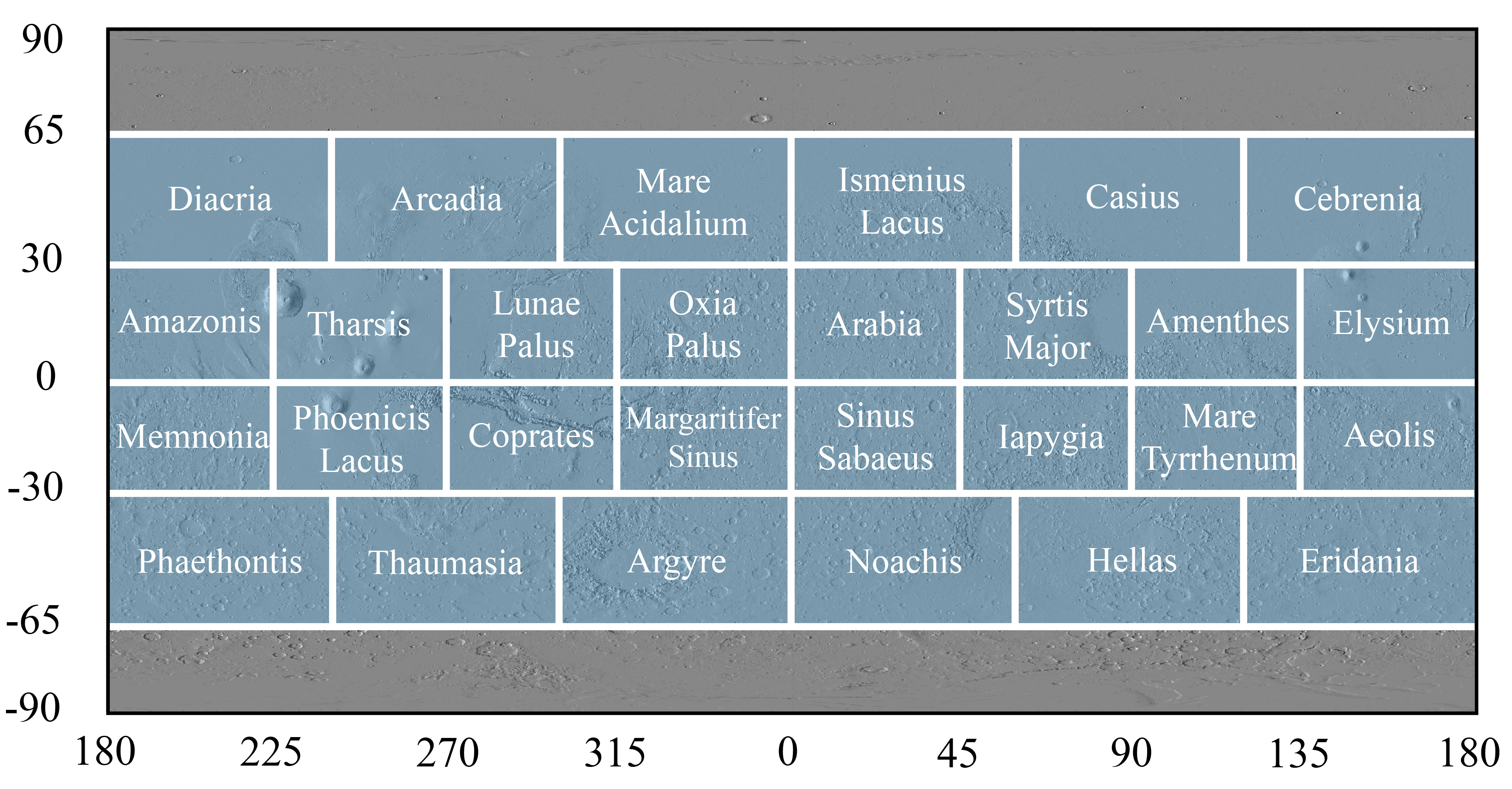
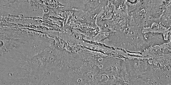
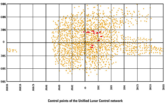
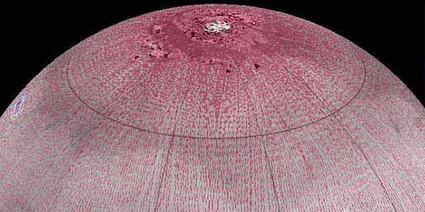
http://astrogeology.usgs.gov/maps/control-networks/marsThe U.S. Geological Survey has recently completed a final revised version of its 231 m/pixel global Viking image mosaic of Mars that has substantially improved geodetic accuracy compared to versions…