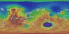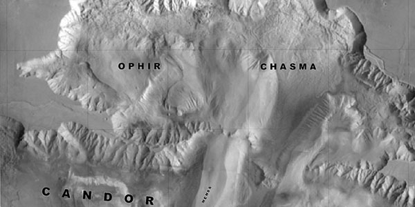
Valles Marineris - The Grand Canyon of Mars
http://astrogeology.usgs.gov/geology/mars-valles-marinerisThe Valles Marineris is a system of canyons located just south of the Martian equator. The system is about 4000 km long, and, if on earth, would extend all the way across the United States. The…