Products

2 Results Collapse
Mars MSL Gale Merged Orthophoto Mosaic 25cm v3 thumbnail

Mars MSL Gale Merged Orthophoto Mosaic 25cm v3

image/tiff 4 MBOct 20 2016

Product Information: This basemap was initially created as an assessment tool for the entry, descent, and landing (EDL) analysis conducted by the Mars Science Laboratory (MSL) engineering team to…

Moon Lunar Orbiter - Clementine UVVISv2 Hybrid Mosaic 59m v1 thumbnail

Moon Lunar Orbiter - Clementine UVVISv2 Hybrid Mosaic 59m v1

application/isis 16 GB

Product Information: The is a blend (or overlay) of the U.S. Geological Survey (USGS) Clementine Ultraviolet/Visible (UVVIS) V2 mosaic and the original USGS Lunar Orbiter mosaic. The Clementine 750…

Project Pages

3 Results Collapse
GIS Tools thumbnail

GIS Tools

http://astrogeology.usgs.gov/facilities/mrctr/gis-tools

Tools for ArcMap 10.x …

Mars MER Microscopic Imager Surface Findings thumbnail

Mars MER Microscopic Imager Surface Findings

http://astrogeology.usgs.gov/geology/mars-mer-microscopic-imager-surface-findings

The Microscopic Imagers (MI) on the Mars Exploration Rovers, Spirit and Opportunity, have returned images of Mars with higher resolution than any previous camera system, allowing detailed…

Valles Marineris - The Grand Canyon of Mars thumbnail

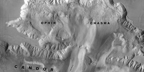
Valles Marineris - The Grand Canyon of Mars

http://astrogeology.usgs.gov/geology/mars-valles-marineris

The Valles Marineris is a system of canyons located just south of the Martian equator. The system is about 4000 km long, and, if on earth, would extend all the way across the United States. The…