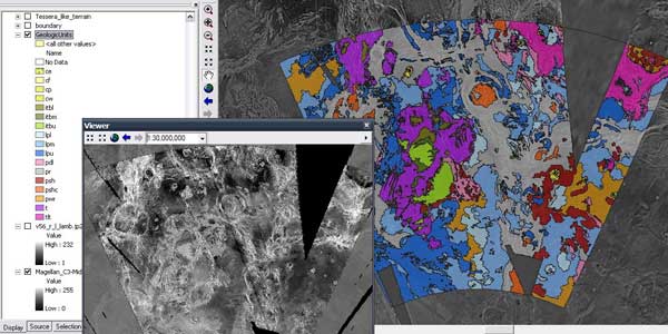
Tools for ArcMap 10.x
- Tools for Graphics and Shapes - Contains many useful routines including the latest geodesic calculations (area and length) and ocentric-ographic tools.
- Manual (pdf)
- Crater Helper Tools v1.1 - Provides a set of tools for measuring and digitizing craters and other morphologic features.
- Manual (pdf)
- Raster Riser v1.0 - Provides a maunal sorting method to reorder rasters within a ArcMap mosaic dataset.
- Manual (pdf)
- Geodesic Profiler - Beta version, works in ArcMap 10.0 - 10.3 (maybe 10.4+).
- Manual (pdf)
- Zonal Statistics Toolbox - Python toolbox with tools to analyze and report slope statistics for multiple landing sites. Tools include Merge Files, Topology Check, Zonal Statistics Tool, and Create Histogram Plot.
- Manual (pdf)
- PGM Toolbox - Python toolbox with routines to automate GIS workflows common to planetary geologic mapping. Tools include New Project Geodatabase, Merge Files, Topology Check, Build Polygons, and Slope/Aspect Test.
- Nomenclature WKT Toolbar - Esri Add-in to retrieve Well Known Text (WKT) string of an object and print it to the ArcMap python console. Supports normal coordinats and 0-360 longitude.
- LIFT - Load Image from Footprint - Loads one or more images from a footprint polygon file which has a text field containing the image's path and filename.
- Display Lon Lat 180/360 and East/West - Display Longitude and Latitude using different Longitude domains 180/360 and East/West.
- Copy and Paste Raster and Feature Symbology - Copy the symbology from one ArcMap layer and paste it to one or more layers.
- Orthographic Projection Pan - Allows you to set the center of an Orthographic projection with a mouse click
- Contour Line Attribution Tool - This tool is designed to allow the user to draw a line that intersects one or more unattributed contours. The user then sets the start elevation (contour) value and the interval at which the elevation contours should increment.
- Iterative Self Select Intersected - This tool will iteratively loop over selected features (in a single layer) adding to the selected set if those features intersect any other feature.
- Tectonic Reconstruct - Tectonic Reconstruct v1.2 (beta) add-in provides a set of tools for the sequential reconstruction of tectonic features.
- Manual (pdf)


