

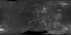
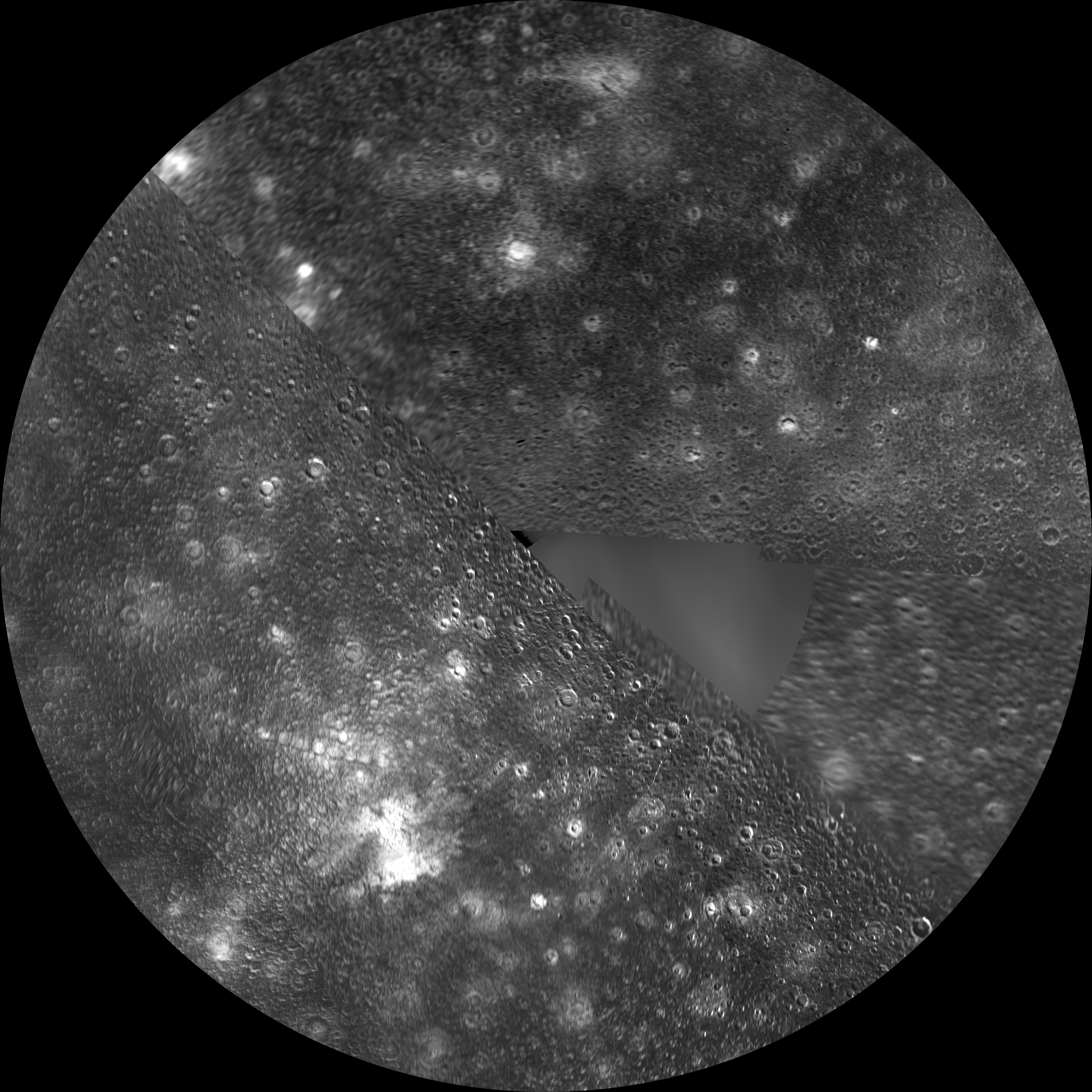
Callisto Galileo / Voyager North Polar Sterographic
This global map of Callisto utilizes the best image quality and moderate resolution coverage supplied by Galileo SSI (Solid State Imaging instrument) and Voyager 1 and 2. The image processing was performed at USGS using the Integrated Software for Imagers and Spectrometers (ISIS) system. The image data was selected on the basis of overall image quality, reasonable input resolution, and availability of moderate viewing and sun angles for topography. The average input resolution was 1.0 kilometers/pixel. The resolution ranged from 60 km/pixel for gap fill up to 400 meters/pixel. The map projections are based on a sphere having a radius of 2409.3 kilometers.
- Mimetype
- image/jpeg
- Filename
- callisto_north.jpg
- Publisher
- USGS
- Originator
- USGS Astrogeology Science Center
- Group
- Astrogeology
- Added to Astropedia
- 2 March 2012
- Modified
- 3 May 2021
General
- Geospatial Data Presentation Form
- Global Mosaic
Keywords
- System
- Jupiter
- Target
- Callisto
- Theme
- Flyby missions, Geographic Information System (GIS), Image Processing
- Mission
- Voyager, Galileo
- Instrument
- SSI
Geospatial Information
- Quad Name
- Map Projection Name
- Polar Stereographic


