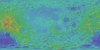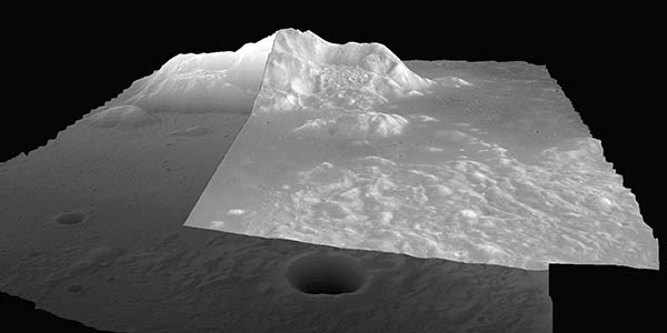

USGS LMMP products will soon be available at the LMMP Portal. These include very large high resolution DTMs and orthomosaics of close to 50 key sites on the lunar surface, and high resolution controlled polar mosaics. These products constitute an important initial step in processing LRO datasets and should greatly facilitate the exploration and study of these significant lunar sites.
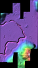
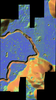
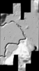
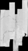
USGS made 1.5 or 3.0 m gridded DTMs and 0.5 m orthomosaics for 20 of the 50 CxP regions of interest using LRO Narrow Angle Camera (NAC) images (~0.5 m/pixel resolution). Additionally, 3 or 5 m DTMs and 1 or 1.5 m image orthomosaics for 3 sites were produced from digitized Apollo Panoramic images. The requirement was to produce DTMs covering at least a 10 by 10 km region (100 sq. km) with a goal of covering 20 by 20 km (400 sq. km), and an orthomosaic for a 40 by 40 km region (1,600 sq. km). The DTMs and othomosaics were geodetically controlled using Lunar Orbiter Laser Altimeter (LOLA) spot elevation measurements (based on LRO Planetary Data System (PDS) release 5 March 2011). The Apollo Panoramic DTMs are lower resolution, but cover a larger area at each site (3,276 ± 718 sq. km) than the DTMs produced using the LRO NAC images (558 ± 175 sq km). The Apollo Panoramic orthomosaics cover the same area as the Apollo Panoramic DTMs and the LRO NAC orthomosaics cover a larger area (1,433 ± 123 sq km) than the LRO NAC DTMs.