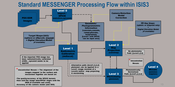
At LPSC 2013, Kris Becker, Tammy Becker and Trent Hare of the USGS Astrogeology Science Center presented a workshop for ISIS3 and MESSENGER MDIS Data. The objective was to introduce MDIS data users to the following concepts:
- ISIS3 Fundamentals
- Standard Processing Concepts and Tools
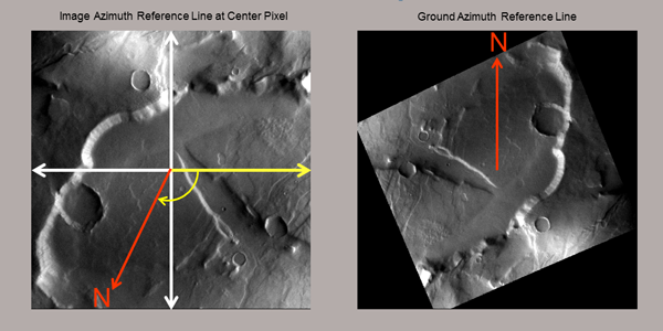
- Cartographic Map Projections
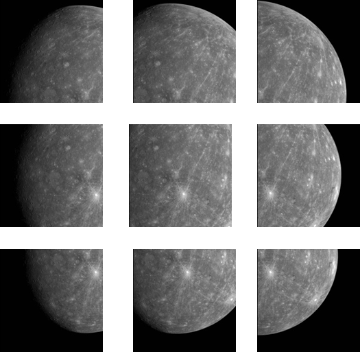
- Creating Monochrome Map Mosaics (EDRs)
- Creating Color Map Mosaics (EDRs)
- Working with PDS Map Projected Products (BDRs/MDRs)
- Export and Application Support for ISIS3 Products


