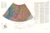
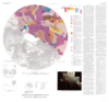
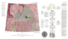
The 1:5,000,000-scale, Mariner-9 geological maps were the first to divide mars into 30 discrete latitudinal and longitudinal areas called the ‘Mars Charts’ (MCs) (Skinner et al., 2006, Gaither et…
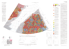
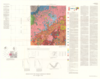
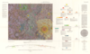
Io, the innermost Galilean satellite of Jupiter, is about the same size as Earth’s Moon, but its surface properties and geologic processes are significantly different. Impact craters and basins,…
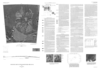
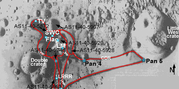
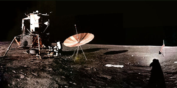
This page features several maps showing routes the astronauts took during extravehicular activities (EVAs). The imagery and maps were prepared as part of a project by a USGS team under funding from…
The following 360° panoramas were created using digitized photographs collected by the astronauts during the Apollo 11 - 17 lunar exploration missions. The imagery and maps were prepared as part…
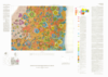
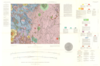
The Astrogeology Science Center's mission includes producing planetary maps and cartographic products which reveal topography, geology, topology, image mosaics and more, all made available to the…