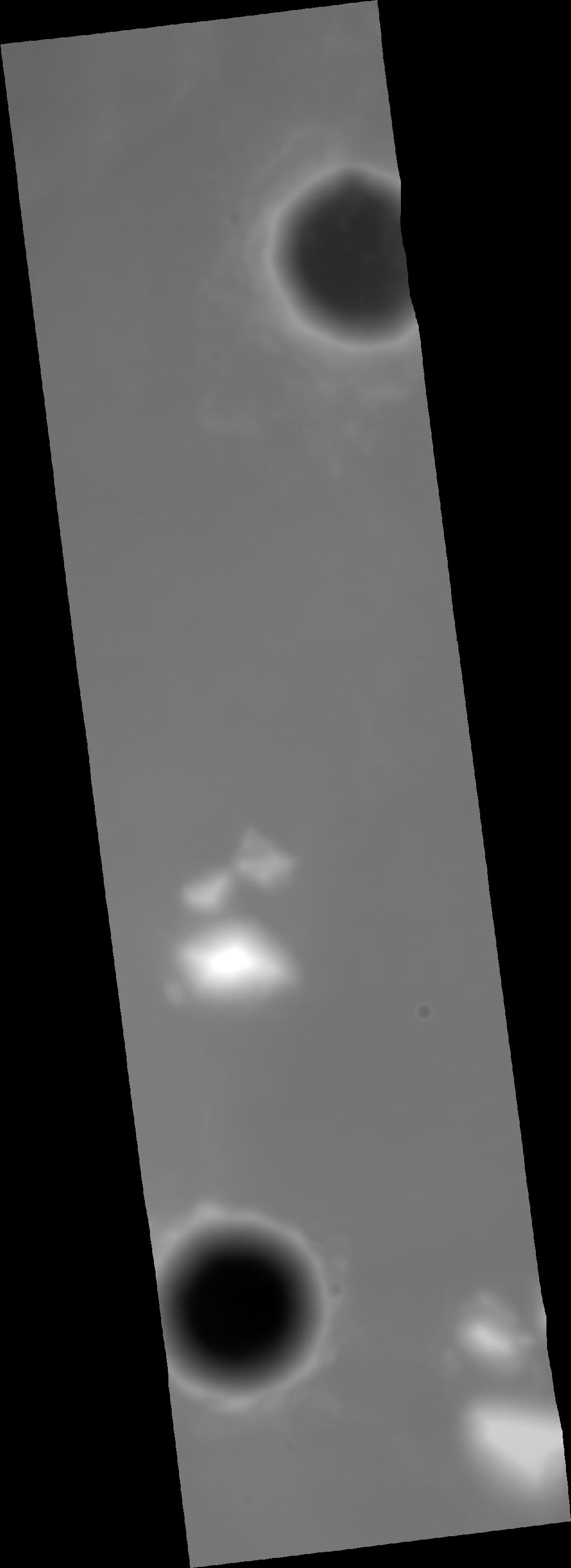
CTX Digital Terrain Model of Mars InSight Landing Site Ellipse 9 Far West
This digital terrain model (DTM) was produced as part of an effort to characterize topography within candidate landing ellipses for the Mars InSight mission and to aid entry, descent, and landing simulations for the mission. The DTM was constructed from a pair of CTX images using the stereo photogrammetry software SOCET SET® (BAE Systems).
The DTM has been used to orthorectify the input images at 6 meters/pixel and to calculate topographic slopes at a 20 meter baseline. These are available under the "Derived Products" section on the right of this page.
Reference and Preferred Citation: R.L. Fergason, R.L. Kirk, G. Cushing, D.M. Galuszka, M.P. Golombek, T.M. Hare, E. Howington-Kraus, D.M. Kipp, B.L. Redding, 2016, "Analysis of Local Slopes at the InSight Landing Site on Mars," Space Sci. Rev., 1572-9672, doi:10.1007/s11214-016-0292-x.
- Publication Date
- 11 October 2016
- Author
- Robin L. Fergason
- Originator
- R.L. Fergason, R.L. Kirk, G. Cushing, D.M. Galuszka, M.P. Golombek, T.M. Hare, E. Howington-Kraus, D.M. Kipp, B.L. Redding
- Group
- Added to Astropedia
- 29 August 2017
- Modified
- 29 April 2019
General
- Purpose
This digital terrain model (DTM) was produced as part of an effort to characterize topography within candidate landing ellipses for the Mars InSight mission and to aid entry, descent, and landing simulations for the mission.
- Geospatial Data Presentation Form
- Digital Elevation Model, Raster Data, Landing Site Map
- Edition
- 1
- Online Linkage
- https://planetarymaps.usgs.gov/mosaic/insight_landing_site_dtm/D18_034071_1842_D18_034216_1845_20m_DTM.tif
- Native Data Set Environment
- ISIS v3
- Supplemental Information
- https://dx.doi.org/10.1007/s11214-016-0292-x
Keywords
- System
- Mars
- Target
- Mars
- Theme
- Topography, Photogrammetry, Landing sites
- Mission
- Mars Reconnaissance Orbiter
- Instrument
- CTX
- Search Terms
- DTM, DEM, topography, elevation
Contact and Distribution
- Access Constraints
- Public Domain
- Use Constraints
- Please Cite Authors
Data Status and Quality
- Currentness Reference
- Publication date
- Progress
- Complete
- Update Frequency
- None planned
- Process Description
The DTM processing work-flow consists of the following steps: (1) Automatically generate and place tiepoints in the stereoimages and perform a relative adjustment to bring the images into alignment (2) Create a low resolution (typically 100 m/post) DTM from the relatively adjusted stereopair (3) Absolutely control the low resolution DTM to the available reference data (MOLA, or HRSC) using the Ames Stereo Pipeline program pc align (4) Apply the transformation to the ground coordinates previously calculated for the tiepoints, placing them in alignment with the reference (5) Perform a final adjustment with the tiepoints converted to XYZ points at their transformed locations (6) Perform interactive quality control and editing to remove artifacts introduced in the matching step (7) Export the final DTM and orthorectified images
The exported DTM is then used to calculate adirectional topographic slopes at a horizontal baseline of 20 meters.
- Horizontal Positional Accuracy Value
- 100
- Horizontal Positional Accuracy Report
- Accurate to Control Net
- Vertical Positional Accuracy Value
- 30
- Vertical Positional Accuracy Report
- Accurate to Control Net
Lineage
- Source PDS Archive
- Mars Reconnaissance Orbiter
- Source Originator
- Planetary Data System (PDS) Experimental Data Record (EDR)
- Source Title
- CTX
- Source Online Linkage
- http://pds-imaging.jpl.nasa.gov/volumes/mro.html
- Type of Source Media
- Online
Geospatial Information
- Feature Target
- Mars
- Minimum Latitude
- 3.618380881974
- Maximum Latitude
- 4.8752991406117
- Minimum Longitude
- 134.58652744
- Maximum Longitude
- 135.04448593
- Direct Spatial Reference Method
- Raster
- Object Type
- Pixel
- Lines (pixels)
- 3682
- Samples (pixels)
- 1342
- Bit Type
- 32
- Quad Name
- MC-14, MC-15
- Radius A
- 3396190
- Radius C
- 3376200
- Bands
- 1
- Pixel Resolution (meters/pixel)
- 20.235801709537
- Scale (pixels/degree)
- 2929.19936527
- Horizontal Coordinate System Units
- Meters
- Map Projection Name
- Equirectangular
- Latitude Type
- Planetocentric
- Longitude Direction
- Positive East
- Longitude Domain
- 0 to 360