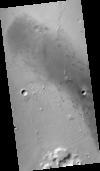
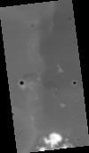
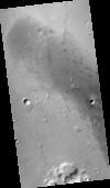
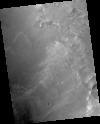
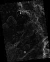
This product represents an orthorectified CTX image within part of a candidate landing site for the Mars2020 mission. The CTX image from which this product was derived is one member of a stereopair.…
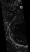
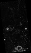
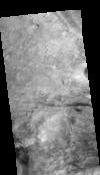
This product represents adirectional topographic slopes over 20 meter horizontal baselines within part of a candidate landing site for the Mars2020 mission. The slope map was derived from a CTX-based…
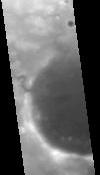
This digital terrain model (DTM) was produced as part of an effort to characterize topography within candidate landing ellipses for the Mars2020 mission and to aid entry, descent, and landing…
This paper presents techniques for automatic mapping of Mars landing sites using surface-based images, i.e., those taken by Mars landers and/or rovers. An innovative method for automatic tie point…