Products

7 Results Collapse
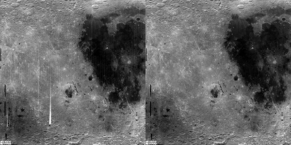
Moon Clementine UVVIS Global Mosaic 118m v2 thumbnail

Moon Clementine UVVIS Global Mosaic 118m v2

application/octet-stream 2 kBApr 09 2009

Product Information: The Clementine Ultraviolet/Visible (UVVIS) Version 2 mosaic is a grayscale data set representing the albedo (brightness of the lunar surface) as measured at the 750 nanometer…

Moon Clementine UVVIS Warped Color Ratio Mosaic 200m v1 thumbnail

Moon Clementine UVVIS Warped Color Ratio Mosaic 200m v1

application/isis 4 GBAug 15 2008

Product Information: This base represents the Clementine Ultraviolet/Visible (UVVIS) warped color-ratio mineral map. This was generated from the UVVIS mosaics using three spectral filters (415,…

Moon Clementine UVVIS 5 Band Warped Image Mosaic 200m v1 thumbnail

Moon Clementine UVVIS 5 Band Warped Image Mosaic 200m v1

application/isis 14 GBMar 01 2008

Product Information: The Clementine Ultraviolet/Visible (UVVIS) mosaic of Earth's Moon is a radiometrically and geometrically controlled, photometrically modeled global Mosaicked Digital Image Model…

Moon Clementine UVVIS FeO Color Binned 1km v1 thumbnail

Moon Clementine UVVIS FeO Color Binned 1km v1

application/isis 133 MBJan 01 2002

Product Information: Clementine derived iron abundance (as weight percent iron oxide [FeO]) data. This FeO map is derived from Clementine Ultraviolet/Visible camera (UVVIS) data as described by…

Moon Lunar Orbiter - Clementine UVVISv2 Hybrid Mosaic 59m v1 thumbnail

Moon Lunar Orbiter - Clementine UVVISv2 Hybrid Mosaic 59m v1

application/isis 16 GB

Product Information: The is a blend (or overlay) of the U.S. Geological Survey (USGS) Clementine Ultraviolet/Visible (UVVIS) V2 mosaic and the original USGS Lunar Orbiter mosaic. The Clementine 750…

Moon Clementine South Pole DEM 1km v1 thumbnail

Moon Clementine South Pole DEM 1km v1

application/isis 10 MBSep 01 2001

Product Information: Stereoimagery from the U.S. National Aeronautics and Space Administration's Clementine mission has been used to produce digital elevation models (DEM) of the Moon, at a scale of…

Moon Clementine North Pole DEM 1km v1 thumbnail

Moon Clementine North Pole DEM 1km v1

application/isis 8 MBAug 01 2001

Product Information: Stereoimagery from the U.S. National Aeronautics and Space Administration's Clementine mission has been used to produce digital elevation models (DEM) of the Moon, at a scale of…

Project Pages

3 Results Collapse
Moon Control Networks thumbnail

Moon Control Networks

http://astrogeology.usgs.gov/maps/control-networks/moon

Lunar Orbiter Lunar Control Network 2004 The USGS worked to digitize and restore a global set of Lunar Orbiter images and to assemble this into a global digital Lunar Orbiter mosaic of the Moon. A…

Moon Pyroclastic Volcanism Project thumbnail

Moon Pyroclastic Volcanism Project

http://astrogeology.usgs.gov/geology/moon-pyroclastic-volcanism-project

Project Overview The goal of this research project is to advance our understanding of pyroclastic volcanism on the Moon using remote sensing data, primarily the high-spatial-resolution (~100 m/pixel)…

Moon Clementine NIR Global Map thumbnail

Moon Clementine NIR Global Map

http://astrogeology.usgs.gov/maps/moon-clementine-near-ir-global-map

Background In May and June of 1994, the NASA/DoD Clementine Mission acquired global, 11-band, multispectral data of the lunar surface using the ultraviolet-visible (UVVIS) and near-infrared (NIR)…