The objective of this work is to assemble and cartographically control Thermal Emission Imaging System (THEMIS; Christensen et al. 2004) daytime infrared (IR) and nighttime IR images. In a cartographically controlled mosaic, individual images are registered to one another so that all feature boundaries align. This intermediate mosaic (a “semi-controlled” mosaic) is then registered to a known coordinate system (i.e., tied to ground) and is fully controlled. All needed adjustments are carefully documented, and that information is used to update the geometry information and the formal uncertainties of the position of each image are determined. This information is then used to generate smithed kernels. Controlled THEMIS mosaics benefit geologic mapping efforts (superior basemap), landed science operations (site characterization and traverse planning), and orbital observation planning (precision targeting). The control networks that result constitute a framework for precision cartographic control of existing and future higher spatial resolution data products, such as Context Camera (CTX) images, and allow the registration of historical data sets (e.g. Viking MDIM; Archinal et al., 2003; 2004) to be improved. In addition, the smithed kernels are valuable to scientists and allow them to perform quantitative analyses with THEMIS images using improved pointing knowledge as well as the precision and accuracy of that knowledge (Fergason et al., 2013; 2019).
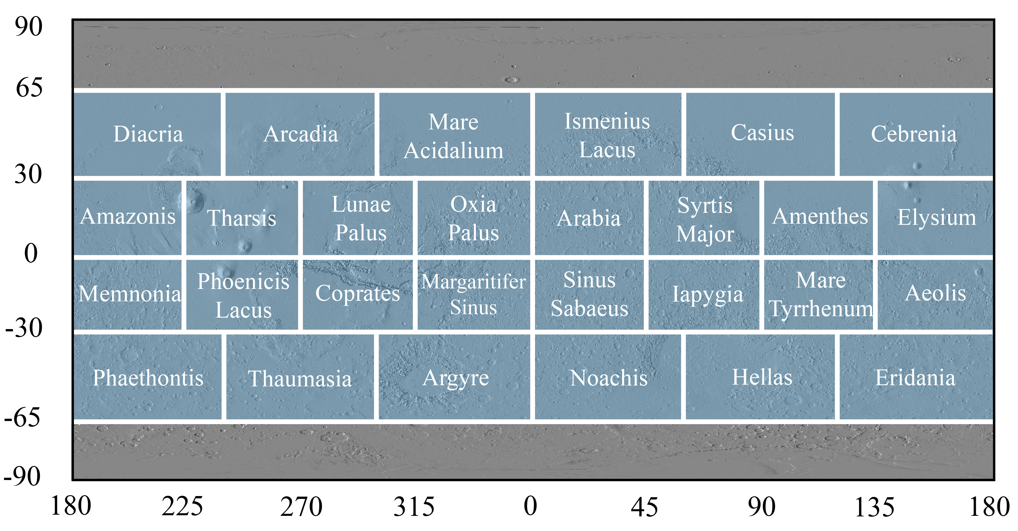
Regions shaded in blue indicate that daytime IR and nighttime IR controlled mosaics and updated image pointing kernels have been released.
Individual documents included in the release of each region include:
Controlled mosaic
Generic file format: THEMIS_Day|NightIR_ControlledMosaic_SiteName_XXSXXE_100mpp.tif
THEMIS infrared controlled mosaic available in GeoTiff and JPG formats.Image label files
ISIS label file format:THEMIS_Day|NightIR_ControlledMosaic_SiteName_XXSXXE_100mpp.lblPDS3 label file format: THEMIS_Day|NightIR_ControlledMosaic_SiteName_XXSXXE_100mpp_pds3.lblThese label files allow one to load the GeoTiff as an ISIS cub or as a PDS-compliant file. To utilize the image label files, one must download both the GeoTiff and the desired label file, as the label file is simply a header that points to the GeoTiff.One can either use the ISIS3 label directly (e.g. qview) or convert to a normal ISIS3 cub file using the ISIS3 program “cubeatt.” Both the GeoTiff and the desired label file must be in the same directory, as the label file is simply a header that points to the GeoTiff. An example “cubeatt” command is:
cubeatt from=THEMIS_Day_ControlledMosaic_SiteName_XXSXXE_100mpp.lbl to=THEMIS_Day_ControlledMosaic_SiteName_XXSXXE_100mpp.cubMetadata
Generic file format: THEMIS_Day|NightIR_ControlledMosaic_SiteName_XXSXXE_100mpp.tif.xml
Includes a description of how the control network and resulting mosaic was generated and any processing issues encountered.File list for images included in the mosaic
Generic file format: THEMIS_Day|NightIR_SiteName_mosaic_filelist.txt
Some images in the kernel were excluded from the mosaic due to post-calibration image processing problems.Source File List
The source file list (see below for download) contains all THEMIS images that are in the control network and have updated SPICE information and the tile that the image is located within. This file is helpful to identify if a desired THEMIS image is in the daytime IR or nighttime IR control network and what tile contains the image.
themis_nightir_mcquad_source_rdr.lis
Final Smithed Kernels
A smithed kernel is a file that contains information used to determine observation geometry parameters for an image, and the geometry information is an improvement/correction of the reconstructed kernels. The kernel information is needed to convert from a raw image, such as an EDR or RDR, to a map-projected product. The current standard THEMIS image pointing kernel is based on the THEMIS ISIS3 camera model and is the default kernel used by the ISIS program “spiceinit.” The kernels derived from the THEMIS control network offer a significant improvement over the THEMIS camera model kernels. Although THEMIS band 9 (centered at a wavelength of 12.57 µm) was used to generate the control network, the improved pointing knowledge can be applied to all bands (using the ISIS program “spiceinit”) to achieve improved geometry information for any band.
There are two separate smithed kernels and ancillary file sets; one for the daytime IR control network and one for the nighttime IR control network. To achieve the most accurate pointing information, the smithed CK and SPK kernels should be used together. These files can be downloaded from the below tar file:
THEMIS_IR_SmithedKernels_USGS_March2019.tar.gz
This tar file contains the following files:
Final Smithed Kernels
CK kernels:
themis_dayir_merged_2018Jul13_ck.bc
themis_nightir_merged_2018Mar02_ck.bc
SPK kernels:
themis_dayir_merged_2018Jul13_spk.bsp
themis_nightir_merged_2018Mar02_spk.bsp
Kernel summary file
CK kernel summary files:
themis_dayir_merged_2018Jul13_ck.doc
themis_nightir_merged_2018Mar02_ck.doc
SPK kernel summary files:
themis_dayir_merged_2018Jul13_spk.doc
themis_nightir_merged_2018Mar02_spk.doc
These files includes the pedigree for the final smithed kernel, a listing of all images in the kernel, and all original kernel files used in the control network.
File list for images included in the kernel
themis_dayir_merged_2018Jul13_kernel_filelist.txt
themis_nightir_merged_2018Mar02_kernel_filelist.txt
To use the improved kernels, point to the kernel file when initializing geometry information using the ISIS3 program “spiceinit.” An example “spiceinit” command is:
spiceinit from=I012345678.lev1.cub ck= themis_dayir_merged_2018Jul13_ck.bc spk= themis_dayir_merged_2018Jul13_spk.bsp
When the new kernel is applied correctly to an image, the user will see the following in the image label:
InstrumentPositionQuality = Reconstructed
InstrumentPointingQuality = Unknown
If the image time is not contained in the kernel, the user will see the following type of error: "Unable to initialize camera model"
References
- Archinal, B.A., et al., (2003), Mars Digital Image Model 2.1 control network, Lunar and Planetary Science XXXIV, Houston, Texas, Abstract #1485.
- Archinal, B.A., et al., (2004) A new Mars Digital Image Model (MDIM 2.1) control network, XXth ISPRS Congress, Istanbul, Turkey.
- Christensen, P. R. , B.M. Jakosky, H.H. Kieffer, M.C. Malin, H.Y. McSween, Jr., K. Nealson, G.L. Mehall, S.H. Silverman, S. Ferry, M. Caplinger, and M. Ravine (2004), The Thermal Emission Imaging System (THEMIS) for the Mars 2001 Odyssey mission, Space Sci. Rev., 110, 85-130.
- Fergason, R. L., E. M. Lee, L. Weller (2013) THEMIS Geodetically Controlled Mosaics of Mars, 44th Lunar and Planetary Science Conference, The Woodlands, TX, Abstract #1642.
- Fergason, R. L., L. Weller, B. Arcinal, K. Edmundson (2019) The THEMIS Controlled Mosaic of Mars and the Importance of Geodetically Controlled Data Sets, in preparation.


