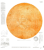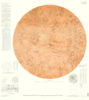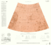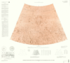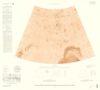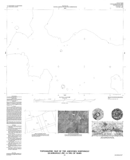
Mars Topographic Map of the Amenthes Northwest Quadrangle (MC-14 NW)
- Mimetype
- application/pdf
- Filename
- Mars-Topographic-Map-of-the-Amenthes-Northwest-Quadrangle-MC-14-NW.pdf
- Publisher
- USGS Astrogeology Science Center
- Publication Date
- 30 December 1991
- Originator
- Group
- RPIF
- Added to Astropedia
- 3 May 2016
- Modified
- 22 June 2021
General
- Geospatial Data Presentation Form
- Regional Mosaic
- Series Id
- 2137
Keywords
- Target
- Mars
- Theme
- Cartography, Remote Sensing, Topography
- Mission
Contact and Distribution
- Access Instructions
- 1 map ;43 x 59 cm., on sheet 81 x 66 cm., folded in envelope 30 x 24 cm.
Geospatial Information
- Minimum Latitude
- 15
- Maximum Latitude
- 30
- Minimum Longitude
- 90
- Maximum Longitude
- 112.5
- Quad Name
- MC-14