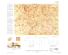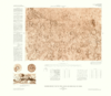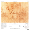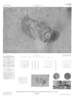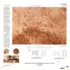
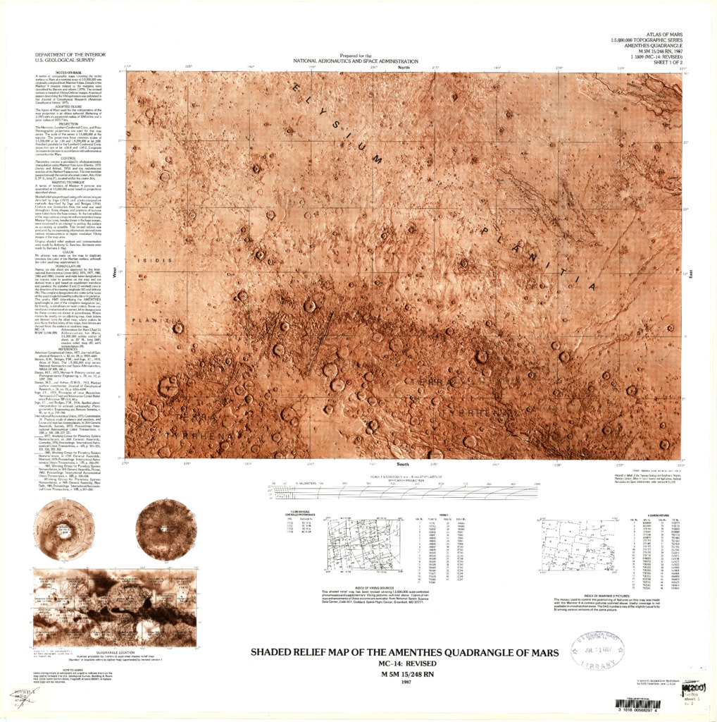
Mars Controlled Photomosaic and Revised Shaded Relief of the Amenthes Quadrangle
- Mimetype
- application/pdf
- Filename
- Mars-Controlled-Photomosaic-and-Revised-Shaded-Relief-of-the-Amenthes-Quadrangle.pdf
- Publisher
- USGS Astrogeology Science Center
- Publication Date
- 26 November 1987
- Originator
- Group
- RPIF
- Added to Astropedia
- 3 May 2016
- Modified
- 6 November 2017
General
- Geospatial Data Presentation Form
- Regional Mosaic, Shaded-Relief Map
- Series Id
- 1809
Keywords
- Target
- Mars
- Theme
- Cartography, Image Processing, Remote Sensing, Remote Sensing, Topography
- Mission
Contact and Distribution
- Access Instructions
- 2 maps :1 col. ;sheets 69 x 69 cm. and 56 x 59 cm., folded in envelope 30 x 24 cm.
Geospatial Information
- Minimum Latitude
- 0
- Maximum Latitude
- 30
- Minimum Longitude
- 90
- Maximum Longitude
- 135
- Quad Name
- MC-14