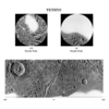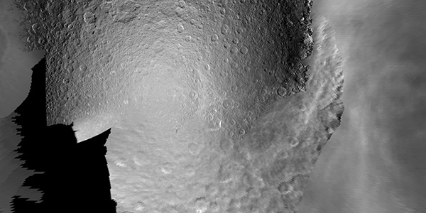
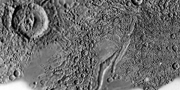
The following products were the first step of cartography planning in support of the Cassini-Huygens mission to the Saturian System. Five of Saturans moons are linked below in a standard cartographic format. This includes mapping information such as latitude and longitude ranges, image resolutions and projection information. The data included in these maps was collected by both Voyager I and Voyager II missions. The Cassini-Huygens spacecraft would target these moons and others during the mission.