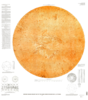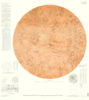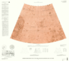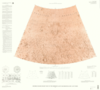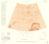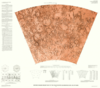
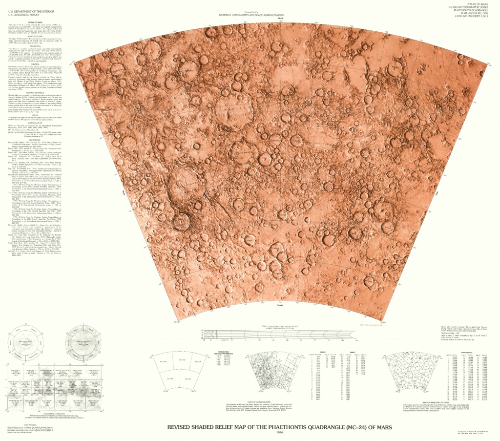
Mars Revised Shaded Relief Map and Controlled Color Photomosaic of the Phaethontis Quadrangle (MC-24)
- Mimetype
- application/pdf
- Filename
- Mars-Revised-Shaded-Relief-Map-and-Controlled-Color-Photomosaic-of-the-Phaethontis-Quadrangle-MC-24.pdf
- Publisher
- USGS Astrogeology Science Center
- Publication Date
- 4 January 1997
- Originator
- Group
- RPIF
- Added to Astropedia
- 3 May 2016
- Modified
- 6 November 2017
General
- Geospatial Data Presentation Form
- Regional Mosaic, Shaded-Relief Map
- Series Id
- 2353
Keywords
- Target
- Mars
- Theme
- Cartography, Image Processing, Remote Sensing, Remote Sensing, Topography
- Mission
Contact and Distribution
- Access Instructions
- 2 remote-sensing images ;each 51 x 69 cm., on sheets 76 x 86 cm. and 66 x 85 cm., folded in envelope 30 x 24 cm.
Geospatial Information
- Minimum Latitude
- -65
- Maximum Latitude
- -30
- Minimum Longitude
- 180
- Maximum Longitude
- 240
- Quad Name
- MC-24