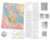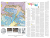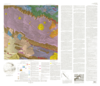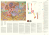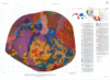
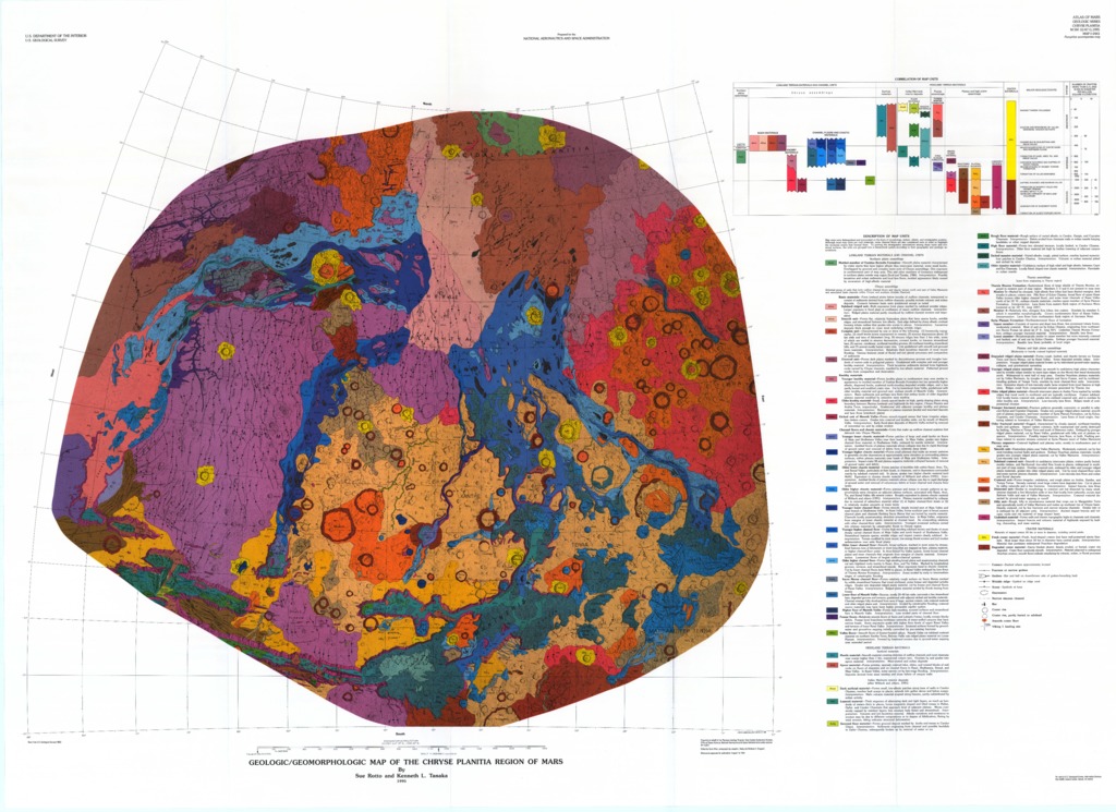
Mars Geologic/Geomorphic Map of the Chryse Planitia Region
- Mimetype
- application/pdf
- Filename
- Mars-GeologicGeomorphic-Map-of-the-Chryse-Planitia-Region.pdf
- Publisher
- USGS Astrogeology Science Center
- Publication Date
- 3 January 1996
- Originator
- S. Rotto, K. Tanaka
- Group
- RPIF
- Added to Astropedia
- 3 May 2016
- Modified
- 7 December 2017
General
- Geospatial Data Presentation Form
- Geologic Map, Raster Data, Vector Data
- Series Id
- 2441
Keywords
- Target
- Mars
- Theme
- Cartography, Geology, Geomorphology, Photogeology, Stratigraphy, Planetary evolution
- Mission
Contact and Distribution
- Access Instructions
- 1 remote-sensing map :col. ;86 x 93 cm., on sheet 101 x 140 cm., folded in envelope 30 x 24 cm. +1 pamphlet (10 p. ; 28 cm.)
Geospatial Information
- Minimum Latitude
- -20
- Maximum Latitude
- 45
- Minimum Longitude
- 276
- Maximum Longitude
- 350
- Quad Name
- MC-3, MC-4, MC-18, MC-19
- Map Projection Name
- Stereographic