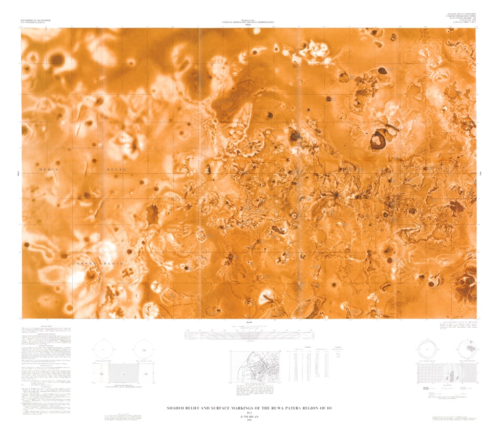
Io Shaded Relief and Surface Markings of the Ruwa Patera Region
CARTOGRAPHIC CONTROL
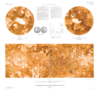
Mercator and polar stereographic projections used for the maps of Io are based on a sphere with a radius of 1816 km and a common scale of 1: 4,268,000 at lats ±45˚. Longitudes increase to the west in accordance with the astronomical convention. Planimetric control was derived by photogrammetric triangulation using Voyager 1 and 2 pictures (Davies and Kayayama, 1981). The meridians are numbered according to the ephemeris position of the prime meridian of Io (Davies and Kayayama, 1981; IAU, 1980a).
NOMENCLATURE
Names on this sheet are approved by the International Astronomical Union (IAU, 1977 and 1980b) except for the provisional names listed below. Provisional names: Agni Patera, Angpetu Patera, Argos Planum, Carancho Patera, Cataquil Patera, Dingir Patera, Ethiopia Planum, Euboea Fluctus, Euboea Montes, Ilmarinen Patera, Iopolis Planum, Kava Patera, Khalla Patera, Lu Huo Patera, Lyrcea Planum, Mama Patera, Menahka Patera, Ninurta Patera, Päive Patera, Pan Mensa, Pautina Patera, Podja Patera, Purgine Patera, Reshet Catena, Sêd Patera, Siun Patera, Sui Jen Patera, Tol-ava Patera, Tung Yo Fluctus, Tung Yo Patera, and Uta Fluctus.
REFERENCES
Batson, R.M., Bridges, P.M., Inge, J.L. Isabell, Christopher, Masursky, Harold, Strobell, M.E., and Tyner, R.L., 1980, Mapping the Galilean satellites of Jupiter with Voyager data: Photogrammetric Engineering and Remote Sensing, v. 46, n0. 10, p.1303-1312.
Davies, M.E., and Katayama, F.Y., 1981, Coordinates of features on the Galilean Satellites: Journal of Geophysical Research, v.86, no. A10, p.8635-8657.
Inge, J.L. 1972, Principles of lunar Illustration: Aeronautical Chart and Information Center Reference Publication RP-72-1, 60p.
Inge, J.L., and Bridges, P.M., 1976, Applied photointerpretation for airbrush cartography: Photogrammetric Engineering and Remote Sensing, v.42, no.6, p.749-760.
International Astronomical Union, 1977, Working Group for Planetary System Nomenclature, in 16th General Assembly, Grenoble, 1976, Proceedings: International Astronomical Union Transactions, v.16B, p.322-323.
__________1980a. Commission 4: Ephemerides, in 17th General Assembly, Montreal, 1979, Proceedings: International Astronomical Union Transactions, v.17B, p.63-83.
__________1980b. Working Group for Planetary System Nomenclature, in 17th General Assembly, Montreal, 1979, Proceedings: International Astronomical Union Transactions, v.17B, p.297-304.
- Mimetype
- application/pdf
- Filename
- Io-Shaded-Relief-and-Surface-Markings-of-the-Ruwa-Patera-Region.pdf
- Publisher
- USGS Astrogeology Science Center
- Originator
- Group
- RPIF
- Added to Astropedia
- 31 March 2016
- Modified
- 3 May 2019
General
- Purpose
This sheet is one in a series of maps that covers the surface of Galilean satellites of Jupiter at a nominal scale of 1 : 5, 000, 000 (Batson and others, 1980). The source for the series was Voyager 1 and 2 images. Essential features of the mapping are noted below.
- Geospatial Data Presentation Form
- Shaded-Relief Map
- Series Id
- 1491
Keywords
- System
- Jupiter
- Target
- Io
- Theme
- Cartography, Remote Sensing, Topography
- Mission
- Voyager
- Mission Specific
- Voyager 1 and 2
Contact and Distribution
- Access Instructions
- 2 remote-sensing images :1 col. ;61 x 94 cm., on sheets 78 x 103 cm. and 90 x 101 cm., folded in envelope 30 x 24 cm.
Data Status and Quality
- Process Description
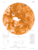
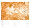
A series of mosaics of Voyager 1 and 2 pictures was assembled at 1: 5, 000, 000 using projections described above. Size, shapes and positions of features were taken from the base mosaic using portrayal and interpretation techniques described by Inge (1972) and Inge and Bridges (196). Surface relief is shown as if illuminated from the west. Albedo markings are shown as they appear int eh Voyager pictures. Extreme variations in the picture resolution precluded consistent interpretation and portrayal of the pictures used for map compilations. Further limitations were imposed by dark albedo markings, which tend to obscure distinctive surface details. The colors chosen for his map are intended to provide optimum discrimination of detail and do not necessarily represent the color of Io. Image analysis and airbrush representation were made by Patricia M Bridges.
Geospatial Information
- Feature Name
- Ruwa Patera Region
- Feature Target
- Ruwa Patera Region
- Quad Name