Topographic Slopes of Mars InSight Landing Site Ellipse 9 Center
- Primary Authors
- Robin L. Fergason
- Originators
- R.L. Fergason, R.L. Kirk, G. Cushing, D.M. Galuszka, M.P. Golombek, T.M. Hare, E. Howington-Kraus, D.M. Kipp, B.L. Redding
- Publisher
- USGS Astrogeology Science Center
- Publication Date
- 2016-10-11
- Abstract
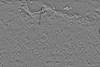
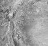
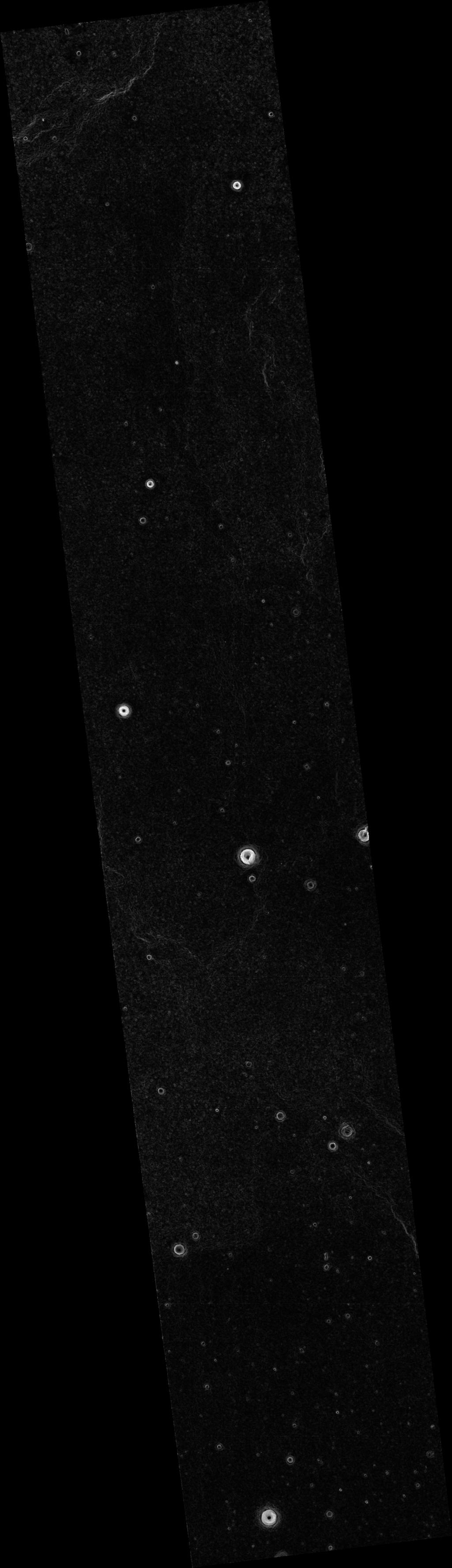
- This product represents adirectional topographic slopes over 20 meter horizontal baselines within part of a candidate landing site for the Mars InSight mission. The slope map was derived from a CTX-based digital terrain model. This slope map was produced as part of an effort to characterize terrain within candidate landing ellipses for the Mars InSight mission and to aid entry, descent, and landing simulations for the mission. The parent DTM was constructed from a pair of CTX images using the stereo photogrammetry software SOCET SET® (BAE Systems). The DTM from which this product was derived is available under the "Related Products" section on the right of this page. Reference and Preferred Citation: R.L. Fergason, R.L. Kirk, G. Cushing, D.M. Galuszka, M.P. Golombek, T.M. Hare, E. Howington-Kraus, D.M. Kipp, B.L. Redding, 2016, "Analysis of Local Slopes at the InSight Landing Site on Mars," Space Sci. Rev., 1572-9672, doi:10.1007/s11214-016-0292-x.
- Purpose
- This slope map was produced as part of an effort to characterize terrain within candidate landing ellipses for the Mars InSight mission and to aid entry, descent, and landing simulations for the mission.
Contact and Distribution
- Format
- Digital Elevation Model, Landing Site Map, Raster Data
- Access Constraints
- Public Domain
- Access Scope
- Use Constraints
- Please Cite Authors
- Edition
- 1
- Supplemental Information
- https://dx.doi.org/10.1007/s11214-016-0292-x
- Native Data Set Environment
- ISIS v3
- Astrogeology Theme
- Landing sites, Photogrammetry, Topography
- Mission Names
- Mars Reconnaissance Orbiter
- Instrument Names
- CTX
- Online Package Link
- https://astrogeology.usgs.gov/search/map/topographic_slopes_of_mars_insight_landing_site_ellipse_9_center
- External File Size
- 69 MB
- Online File Link
- https://planetarymaps.usgs.gov/mosaic/insight_landing_site_dtm/F02_036761_1828_F04_037262_1841_20m_slope_20m.tif
- Contact Address
- 2255 N. Gemini Drive
- Contact City
- Flagstaff
- Contact State
- AZ
- Contact Postal Code
- 86001
- Contact Email
- astroweb@usgs.gov
- Currentness Reference
- Publication date
- Progress
- Complete
- Update Frequency
- None planned
- Process Description
- See Fergason et al. (2016) for a detailed processing description. The 20 meter baseline adirectional slope raster is derived from a 20 m/pixel CTX DTM. The Python script used to generate the slope raster is available here: https://github.com/USGS-Astrogeology/GDAL scripts/blob/master/gdal_baseline_slope/gdal_baseline_slope.py
- Source Title
- CTX
- Source Online Linkage
- http://pds-imaging.jpl.nasa.gov/volumes/mro.html
- Source PDS Archive
- Mars Reconnaissance Orbiter
- Horizontal Positional Accuracy Report
- Accurate to Control Net
- Vertical Positional Accuracy Report
- Accurate to Control Net
Geospatial Information
- Target
- Mars
- System
- Mars
- Minimum Latitude
- 2.69749478064993
- Maximum Latitude
- 5.391746354261066
- Minimum Longitude
- 135.28249065549664
- Maximum Longitude
- 136.0594947839228
- Direct Spatial Reference Method
- Raster
- Object Type
- Grid Cell
- Raster Row Count (lines)
- 7892
- Raster Column Count (samples)
- 2276
- Bit Type (8, 16, 32)
- 32
- Quad Name
- MC-15
- Radius A
- 3396190
- Radius C
- 3396190
- Bands
- 1
- Pixel Resolution (meters/pixel)
- 20.235801707741
- Scale (pixels/degree)
- 2929.1993655300193
- Map Projection Name
- Equirectangular
- Latitude Type
- Planetocentric
- Longitude Direction
- Positive East
- Longitude Domain
- -180 to 180