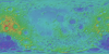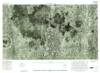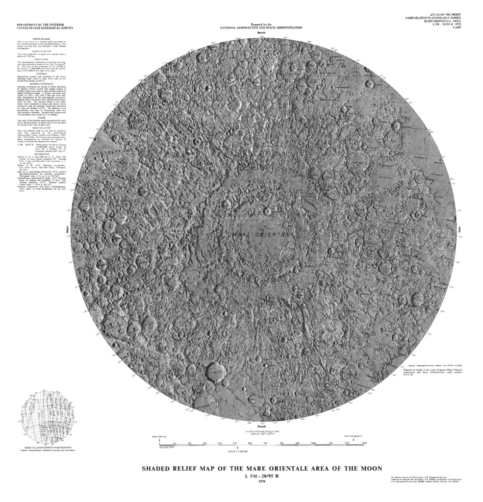
Moon Shaded Relief Map of the Mare Orientale Area
- Publisher
- USGS Astrogeology Science Center
- Publication Date
- 1978-10-17
Contact and Distribution
- Format
- Shaded-Relief Map
- Access Scope
- Series Id
- 1089
- Native Data Set Environment
- Astrogeology Theme
- Cartography, Remote Sensing, Topography
- Online Package Link
- https://astrogeology.usgs.gov/search/map/moon_shaded_relief_map_of_the_mare_orientale_area
- External File Size
- 5231768
- Online File Link
- http://astropedia.astrogeology.usgs.gov/download/Moon/Topography/Moon-Shaded-Relief-Map-of-the-Mare-Orientale-Area.pdf
- Access Instructions
- 1 map ;51 cm. diam.
- Contact Address
- 2255 N. Gemini Drive
- Contact City
- Flagstaff
- Contact State
- AZ
- Contact Postal Code
- 86001
- Contact Email
- [email protected]
Geospatial Information
- Target
- Moon
- Well Known Text (WKT)
- POLYGON((250 -16, 270 -16, 270 -32, 250 -32, 250 -16))
- Minimum Latitude
- -32
- Maximum Latitude
- -16
- Minimum Longitude
- 250
- Maximum Longitude
- 270
- Object Type
- Grid Cell
- Quad Name
- LQ-17, LQ-18, LQ-25
- Map Scale (hard-copy)
- 1:5000000
- Horizontal Coordinate System Units
- Degrees