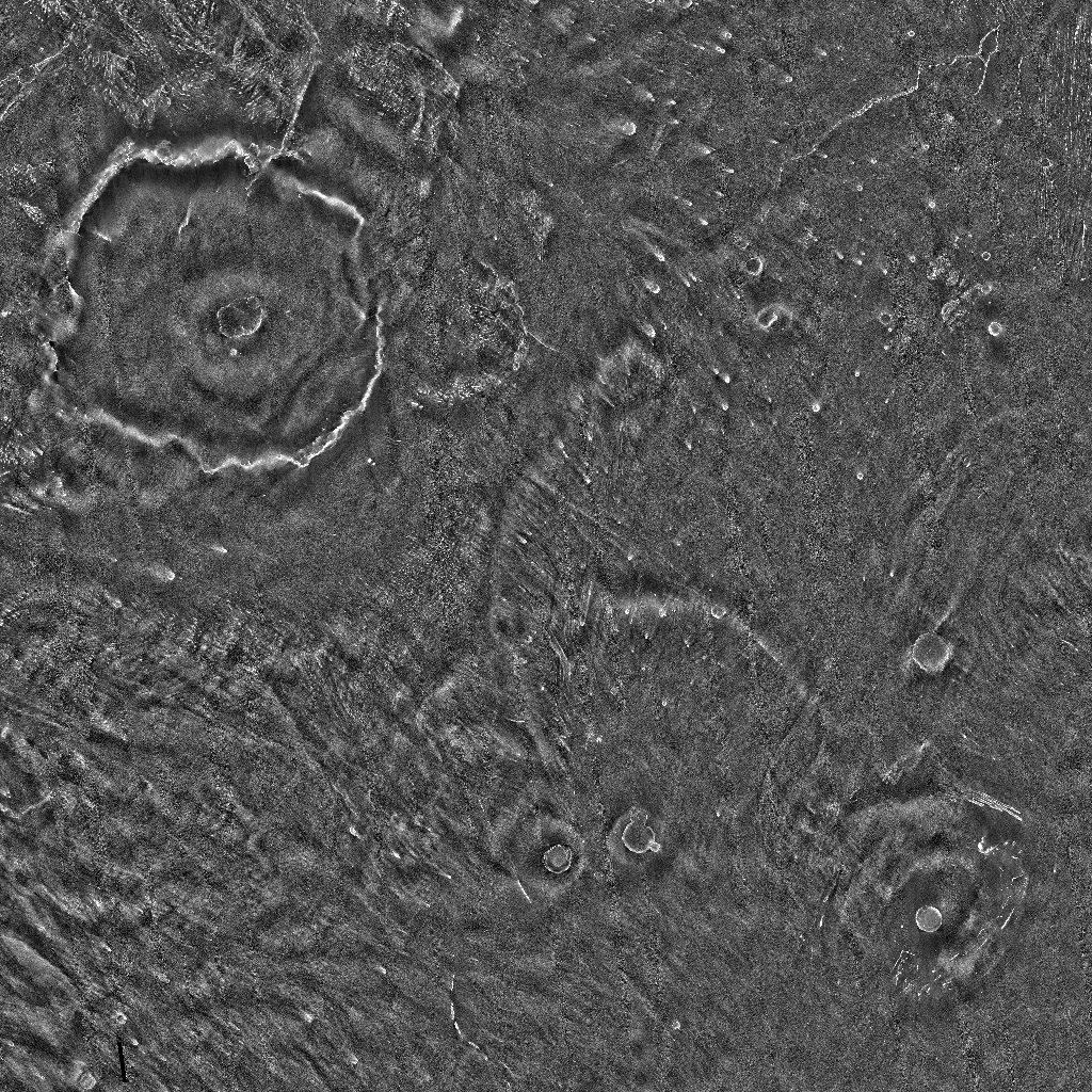
Mars Odyssey THEMIS-IR Night 60N60S Mosaic 100m v14
- Primary Authors
- THEMIS Team
- Originators
- Arizona State University
- Publisher
- USGS Astrogeology Science Center
- Publication Date
- 2014-08-01
- Abstract
- This mosaic represents the Thermal Emission Imaging System (THEMIS) -nighttime infrared (IR) 100 meter/pixel mosaic (version 12) released in the summer of 2014 by Arizona State University. Values represent only a visual representation of night-time temperatures. The original values have been stretched and blended to make a more seamless mosaic. Coverage is only from 60N to 60S latitude. Reference: * Edwards, C.S., K. J. Nowicki, P. R. Christensen, J. Hill, N. Gorelick, and K. Murray (2011), Mosaicking of global planetary image datasets: 1. Techniques and data processing for Thermal Emission Imaging System (THEMIS) multiâspectral data, J. Geophys. Res., 116, E10008, doi:10.1029/2010JE003755. http://dx.doi.org/10.1029/2010JE003755
Contact and Distribution
- Format
- Global Mosaic
- Access Constraints
- public domain
- Access Scope
- Use Constraints
- Please cite authors
- Edition
- 14
- Supplemental Information
- http://www.mars.asu.edu/data/thm_nir_100m/, http://dx.doi.org/10.1029/2010JE003755
- Native Data Set Environment
- ISIS v3
- Astrogeology Theme
- Geomorphology, Image Processing, Remote Sensing
- Mission Names
- Mars Odyssey
- Instrument Names
- THEMIS
- Online Package Link
- https://astrogeology.usgs.gov/search/map/mars_odyssey_themis_ir_night_60n60s_mosaic_100m_v14
- External File Size
- 15 GB
- Online File Link
- https://planetarymaps.usgs.gov/mosaic/Mars_MO_THEMIS-IR-Night_mosaic_60N60S_100m_v14.tif
- Contact Address
- 2255 N. Gemini Drive
- Contact City
- Flagstaff
- Contact State
- AZ
- Contact Postal Code
- 86001
- Contact Email
- [email protected]
- Currentness Reference
- Publication date
- Progress
- In Work
- Update Frequency
- As needed
- Logical Consistency
- semi-controlled basemap
- Completeness Report
- Coverage is only from 60N to 60S latitude.
Lineage
- Process Date
- 2014-08-01
- Source Online Linkage
- http://www.mars.asu.edu/data/thm_nir_100m/
- Attribute Accuracy Report
- Best Effort
Geospatial Information
- Target
- Mars
- System
- Mars
- Minimum Latitude
- -60
- Maximum Latitude
- 60
- Minimum Longitude
- 0
- Maximum Longitude
- 360
- Direct Spatial Reference Method
- Raster
- Object Type
- Grid Cell
- Raster Row Count (lines)
- 71130
- Raster Column Count (samples)
- 213388
- Bit Type (8, 16, 32)
- 8
- Quad Name
- MC-4, MC-5, MC-26, MC-27
- Radius A
- 3396190
- Radius C
- 3376200
- Bands
- 1
- Pixel Resolution (meters/pixel)
- 100
- Scale (pixels/degree)
- 592.747
- Map Projection Name
- Simple Cylindrical
- Latitude Type
- Planetocentric
- Longitude Direction
- Positive East
- Longitude Domain
- 0 to 360


