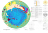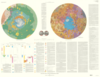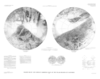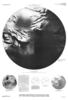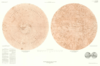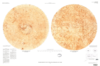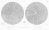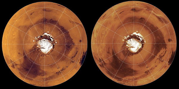
Three Decades of Martian Surface Changes
http://astrogeology.usgs.gov/geology/mars-surface-changesThe surface of Mars has changed dramatically during the three decades spanned by spacecraft exploration. Comparisons of Mars Global Surveyor images with Viking and Mariner 9 pictures suggest that…