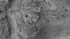
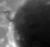
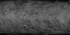
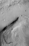
Bennu OSIRIS-REx OCAMS Global PAN Mosaic 5cm v1
image/tiff 131 kBFeb 26 2020In early 2019, NASA's OSIRIS-REx (Origins, Spectral Interpretation, Resource Identification, and SecurityRegolith Explorer) mission surveyed asteroid (101955) Bennu with a collection of instruments,…