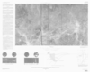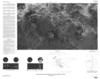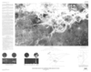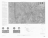
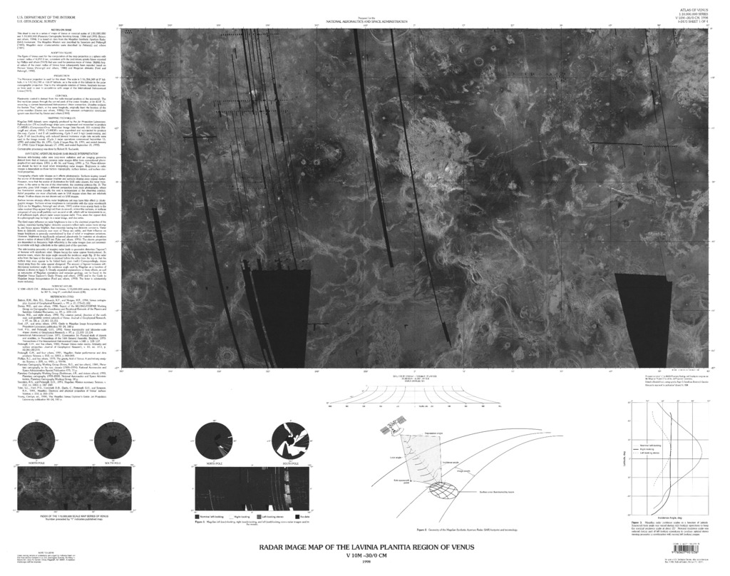
Venus in Four Map Sheets: The Lavinia Planitia Region
- Publisher
- USGS Astrogeology Science Center
- Publication Date
- 1999-01-06
Contact and Distribution
- Format
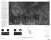
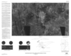
- Regional Mosaic
- Access Scope
- Series Id
- 2475
- Native Data Set Environment
- Astrogeology Theme
- Cartography, Image Processing, Remote Sensing
- Online Package Link
- https://astrogeology.usgs.gov/search/map/venus_in_four_map_sheets_the_lavinia_planitia_region
- External File Size
- 11229559
- Online File Link
- http://astropedia.astrogeology.usgs.gov/download/Venus/Mosaic/Venus-in-Four-Map-Sheets-The-Lavinia-Planitia-Region.pdf
- Access Instructions
- 4 remote-sensing images :some col. ;each 45 x 78 cm., on sheets 76 x 97 cm. and 74 x 84 cm., folded in envelope 30 x 24 cm.
- Contact Address
- 2255 N. Gemini Drive
- Contact City
- Flagstaff
- Contact State
- AZ
- Contact Postal Code
- 86001
- Contact Email
- [email protected]
Geospatial Information
- Target
- Venus
- Well Known Text (WKT)
- POLYGON((330 -25, 360 -25, 360 -50, 330 -50, 330 -25))
- Minimum Latitude
- -50
- Maximum Latitude
- -25
- Minimum Longitude
- 330
- Maximum Longitude
- 360
- Object Type
- Grid Cell
- Quad Name
- V-55
- Map Scale (hard-copy)
- 1:10000000
- Horizontal Coordinate System Units
- Degrees