Mars Geologic Map of the Dao, Harmakhis, and Reull Valles Region
- Originators
- K. Price
- Publisher
- USGS Astrogeology Science Center
- Publication Date
- 1999-01-06
- Abstract
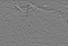
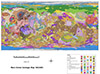
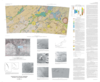
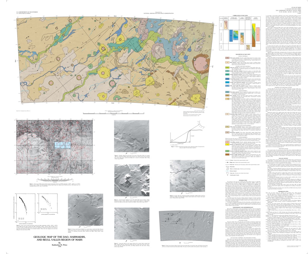
- The geology for this map was compiled using Viking Orbiter images on 1:500,000- scale photomosaics of the Mars Transverse Mercator quadrangles -40262, -40267, and -40272. This map represents a detailed extension of regional geologic mapping of the east Hellas rim (Crown and others 1990, 1992) and is published at 1:1,000,000 scale. The map area is on the east rim of one of the largest impact structures in the Solar System, the ~2,000-km-diameter Hellas basin (fig. 1). Channeled plains, with Dao, Harmakhis, and Reull Valles as the primary drainage features, dominate much of the surface within the map area. Dao Vallis is the downstream extension of Niger Vallis, which originates on the south flank of Hadriaca Patera, north of the map area. Harmakhis Vallis and Reull Vallis appear to intersect near latitutude 38°30' S., longitude 264°30'; Harmakhis Vallis trends southwest and Reull Vallis trends southeast from the area of intersection. The source area for these major outflow channels is at the intersection of two principal rings of multiring impact basins (Potter, 1976; Schultz and Frey, 1990; fig. 1). Hellas basin is centered southwest of the map area, and the proposed Hesperia basin is centered northeast of the map area (Schultz and Frey, 1990).The eastern part of the map area contains extensive remnants of ancient mountains and crater rim materials, along with large mesa-like features. Landforms over the entire map area appear to have been modified by multiple erosional events including downslope movement, eolian, and fluvial processes.The purpose of mapping the geology of the Dao, Harmakhis, and Reull Valles region of Mars is to refine stratigraphic and geomorphologic relations among the geologic units in thearea in order to better understand the nature of, relative timing of, and interactions among martian highland surface processes.
Contact and Distribution
- Format
- Geologic Map, Raster Data, Vector Data
- Access Scope
- RPIF
- Series Id
- 2557
- Native Data Set Environment
- Astrogeology Theme
- Cartography, Geology, Geomorphology, Photogeology, Planetary evolution, Stratigraphy
- Online Package Link
- https://astrogeology.usgs.gov/search/map/mars_geologic_map_of_the_dao_harmakhis_and_reull_valles_region
- External File Size
- 16075973
- Online File Link
- http://astropedia.astrogeology.usgs.gov/download/Mars/Geology/year-1990/Mars-Geologic-Map-of-the-Dao-Harmakhis-and-Reull-Valles-Region.pdf
- Access Instructions
- 1 remote-sensing map :col. ;32 x 72 cm., on sheet 91 x 110 cm., folded in envelope 30 x 24 cm.
- Contact Address
- 2255 N. Gemini Drive
- Contact City
- Flagstaff
- Contact State
- AZ
- Contact Postal Code
- 86001
- Contact Email
- [email protected]
Geospatial Information
- Target
- Mars
- Well Known Text (WKT)
- MULTIPOLYGON (((85 -37.5, 100 -37.5, 100 -42.5, 85 -42.5, 85 -37.5)))
- Minimum Latitude
- -42
- Maximum Latitude
- 0
- Minimum Longitude
- 85
- Maximum Longitude
- 100
- Object Type
- Grid Cell
- Quad Name
- MC-13, MC-14, MC-21, MC-22, MC-28
- Map Scale (hard-copy)
- 1:1000000
- Map Projection Name
- Transverse Mercator