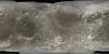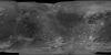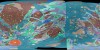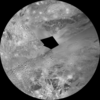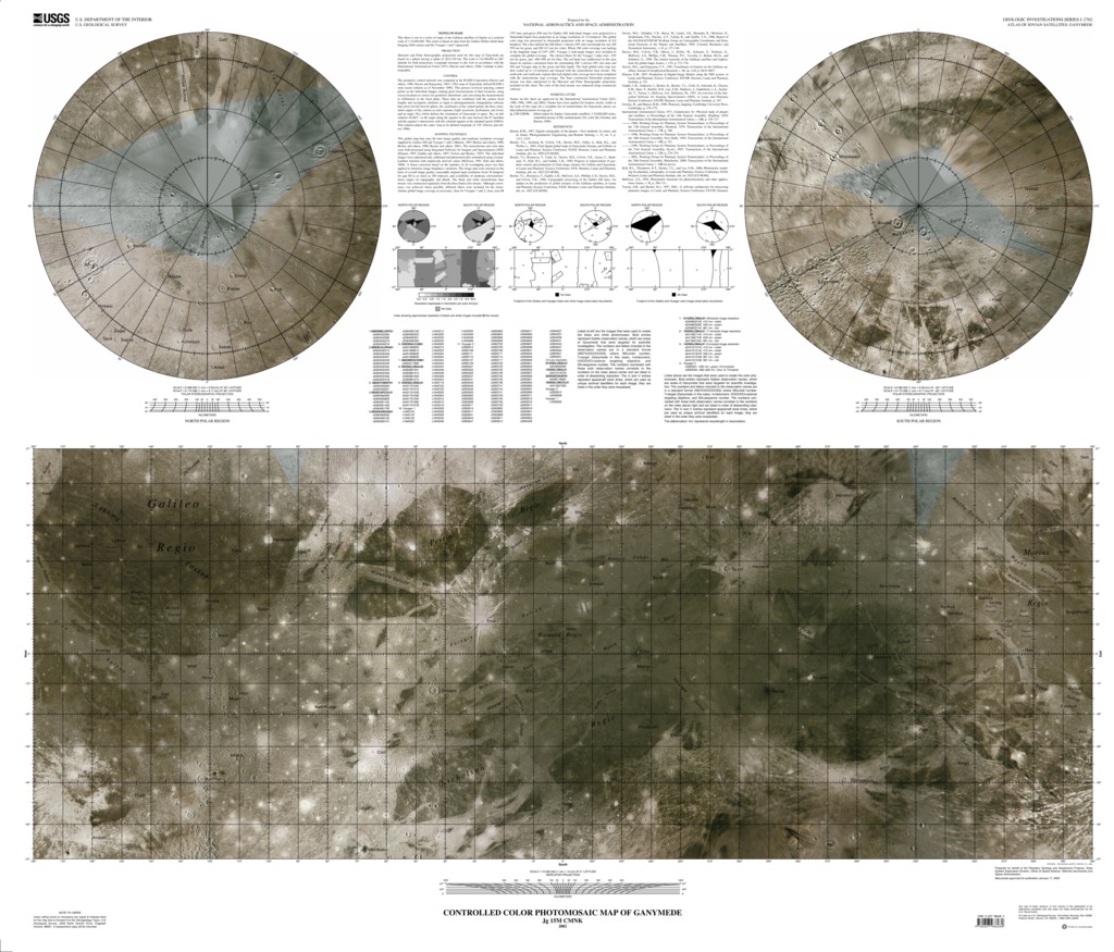
Ganymede Controlled Color Photomosaic Map
- Publisher
- USGS Astrogeology Science Center
- Publication Date
- 2002-01-02
- Abstract
- This sheet is one in a series of maps of the Galilean satellites of Jupiter at a nominal scale of 1:15,000,000. This series is based on data from the Galileo Orbiter Solid-State Imaging (SSI) camera and the Voyager 1 and 2 spacecraft.
Contact and Distribution
- Format
- Global Mosaic
- Access Scope
- Series Id
- 2762
- Native Data Set Environment
- Astrogeology Theme
- Cartography, Image Processing, Remote Sensing
- Mission Names
- Galileo, Voyager
- Instrument Names
- SSI, Voyager 1, Voyager 2
- Online Package Link
- https://astrogeology.usgs.gov/search/map/ganymede_controlled_color_photomosaic_map
- External File Size
- 20303759
- Online File Link
- http://astropedia.astrogeology.usgs.gov/download/Ganymede/Mosaic/Ganymede-Controlled-Color-Photomosaic-Map.pdf
- Access Instructions
- 1 Map: 116 x 100 cm
- Contact Address
- 2255 N. Gemini Drive
- Contact City
- Flagstaff
- Contact State
- AZ
- Contact Postal Code
- 86001
- Contact Email
- [email protected]
Geospatial Information
- Target
- Ganymede
- System
- Jupiter
- Object Type
- Grid Cell
- Quad Name
- Map Scale (hard-copy)
- 1:15000000
- Map Projection Name
- Mercator