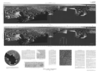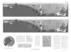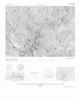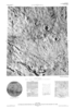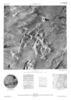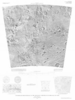
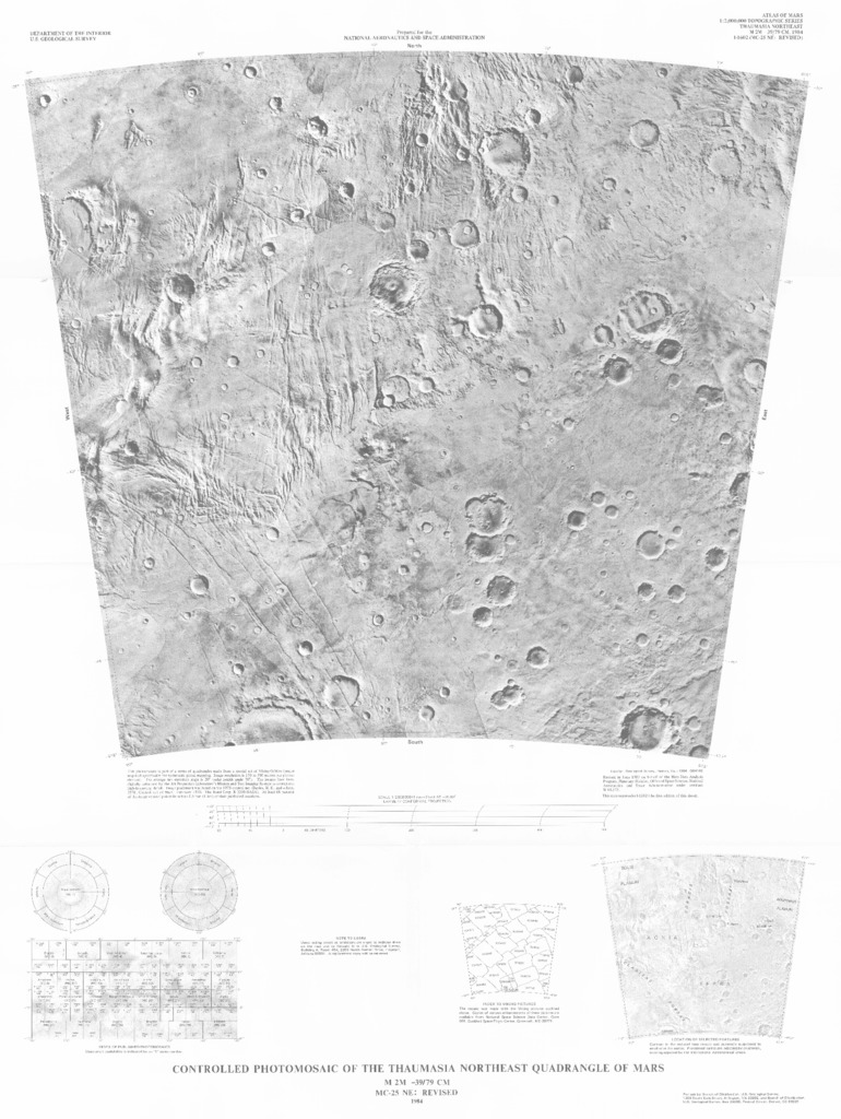
Mars Controlled Photomosaic of the Thaumasia Northeast Quadrangle
- Mimetype
- application/pdf
- Filename
- Mars-Controlled-Photomosaic-of-the-Thaumasia-Northeast-Quadrangle.pdf
- Publisher
- USGS Astrogeology Science Center
- Publication Date
- 23 November 1984
- Originator
- Group
- Astrogeology
- Added to Astropedia
- 2 May 2016
- Modified
- 10 January 2018
General
- Geospatial Data Presentation Form
- Regional Mosaic
- Series Id
- 1602
Keywords
- System
- Mars
- Target
- Mars
- Theme
- Cartography, Image Processing, Remote Sensing
- Mission
- Viking Orbiter
Contact and Distribution
- Access Instructions
- 1 photomosaic ;53 x 59 cm., on sheet 86 x 66 cm. folded in envelope 30 x 24 cm.
Geospatial Information
- Minimum Latitude
- -47.5
- Maximum Latitude
- -30
- Minimum Longitude
- 270
- Maximum Longitude
- 292.5
- Quad Name
- MC-25
- Map Projection Name
- Lambert Conformal