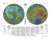
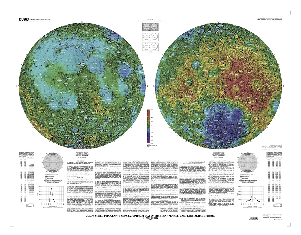
Moon Clementine Topographic Maps
This sheet is one in a series of topographic maps that presents colorcoded topographic data digitally merged with shaded relief data.
The figure for the Moon, used for the computation of the map projection, is a sphere with a radius of 1737.4 km (Seidelmann and others, 2002). Because the Moon has no surface water, and hence no sea level, the datum (the 0 km contour) for elevations is defined as the radius of 1737.4 km. Coordinates are based on the mean Earth/polar axis (M.E.) coordinates system, the z axis is the axis of the Moon’s rotation, and the x axis is the mean Earth direction. The center of mass is the origin of the coordinate system (Davies and Colvin, 2000). The equator lies in the x–y plane and the prime meridian lies in the x–z plane with east longitude values being positive.
The projection is Lambert Azimuthal Equal Area Projection. The scale factor at the central latitude and central longitude point is 1:10,000,000. For the near side hemisphere the central latitude and central longitude point is at 0° and 0°. For the far side hemisphere the central latitude and central longitude point is at 0° and 180°.
- Mimetype
- application/pdf
- Filename
- io_i2769.pdf
- Originator
- Group
- Added to Astropedia
- 14 October 2011
- Modified
- 3 November 2017
General
- Geospatial Data Presentation Form
- Topographic Map
Keywords
- System
- Earth
- Target
- Moon
- Mission
- Clementine
Geospatial Information
- Lines (pixels)
- 3312
- Samples (pixels)
- 2592
- Quad Name