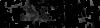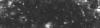
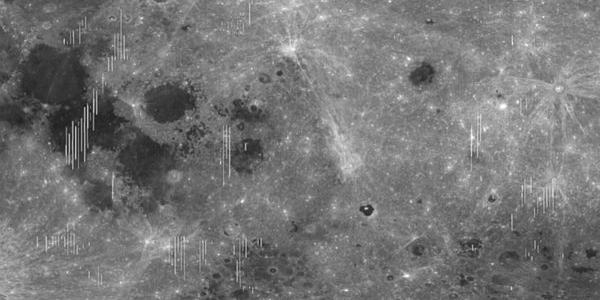
This page introduces the Kaguya Multiband Imager derived spectral and derived mineral maps by the Japan Aerospace Exploration Agency (JAXA) and the University of Hawaii. The mosaics were created from topographically-corrected MI reflectance data acquired by the JAXA SELENE/Kaguya mission (see Ohtake et al., 2013) from the Kaguya Archive MI MAP processing level version 2 (MI MAP_02) products.
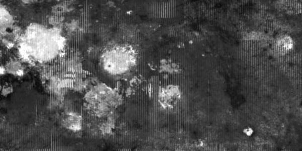
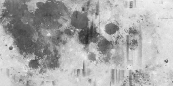
The Multiband Imager has 9 spectral bands, at 415, 750, 900, 950, 1001 nm (UVVIS camera) and 1000, 1050, 1250, 1550 nm (NIR camera). The reflectance has been corrected for the shading effects of topography by the SELENE team, as explained in Ohtake et al. (2013), and corresponds to the MAP processing level version 2 (MI_MAP_02) described in Kaguya (SELENE) Product Format Description – Lunar Imager/Spectrometer (LISM (TC/MI/SP)) / SPICE Kernel, version 1.3 (2010). These mosaics are available at 512ppd (pixel/degree) or 59mp (meters/pixel), covering the latitude range of +/-65 degrees from this URL: https://planetarymaps.usgs.gov/mosaic/Lunar_MI_multispectral_maps/
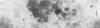
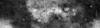
These MI multispectral images have also been used to derive 9 new maps of the four common lunar minerals using Hapke’s radiative transfer equations, FeO, OMAT, submicroscopic iron, the plagioclase grains size, and the weighted criteria calculated to identify the best spectral match between each Multiband Imager spectrum and a spectral library (Lemelin et al., 2018). These products (listed below) are available at 512ppd (pixel/degree) or 59mp (meters/pixel), covering the latitude range of +/-50 degrees due to the difficulty of applying adequate corrections for topographic shading at higher latitudes. Preparation details and information on limitations of these products will be presented in a future publication (in review).
All mosaic presented here have been resampled to 512 ppd (59 meters/pixel) or 128ppd (237 meters/pixel) from its original resolution of 2048 ppd (15 meters/pixel).
Mosaics are available in GeoTiff and the MI mineral maps also have PDS3 and ISIS3 headers. PDS4 labels for all images are in the works.
For usage rights, please refer to the JAXA Conditions for material usage page ( http://jda.jaxa.jp/en/service.php ) and please credit JAXA and the SELENE/Kaguya data. ©JAXA/SELENE
References:
(recommended citation) Lemelin, M., Lucey. P.G., Miljkovic, K., Gaddis, L.R., Hare, T., and Ohtake, M. (2019) The compositions of the lunar crust and upper mantle: Spectral analysis of the inner rings of lunar impact basins, Planetary and Space Science, 165, 230-243. https://www.sciencedirect.com/science/article/pii/S0032063318302319
Lemelin, M., Lucey, P.G., L.R. Gaddis, T. Hare, and M. Ohtake, 2016, Global map products from the Kaguya Multiband Imager at 512 ppd: Minerals, FeO and OMAT, 47th LPSC, abs. #2994. http://www.hou.usra.edu/meetings/lpsc2016/pdf/2994.pdf
Lemelin, M., P. G. Lucey, E. Song, and G. J. Taylor (2015), Lunar central peak mineralogy and iron content using the Kaguya Multiband Imager: Reassessment of the compositional structure of the lunar crust, J. Geophys. Res. Planets, 120, 869–887. doi:10.1002/2014JE004778. data: https://astrogeology.usgs.gov/search/map/Moon/Kaguya/MI/SELENE_Multiband_Imager_CentralPeak_Mosaics_052815
Ohtake, M., C.M. Pieters, P. Isaacson, S. Besse, Y. Yokota, T. Matsunaga, J. Boardman, S. Yamamoto, J. Haruyama, M. Staid, U. Mall, R.O. Green (2013), One Moon, Many Measurements 3: Spectral reflectance, Icarus, Volume 226, Issue 1, 364–374.
Ohtake, M., J. Haruyama, T. Matsunaga, Y. Yokota, T. Morota, C. Honda and the LISM team (2008), Performance and scientific objectives of the SELENE (KAGUYA) Multiband Imager, Earth Planets Space, 60, 257-264. https://doi.org/10.1016/j.icarus.2013.05.010
Taylor, L. A., C. Pieters, A. Patchen, D. S. Taylor, R. V. Morris, L. P. Keller, and D. S. McKay (2010), Mineralogical and chemical characterization of lunar highland soils: Insights into the space weathering of soils on airless bodies, J. Geophys. Res., 115, E02002, doi:10.1029/2009JE003427.
Alternative Download Links: