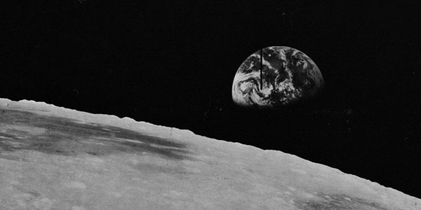
Zond8 Lunar Consortium Historical Data Archive
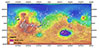
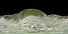
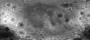
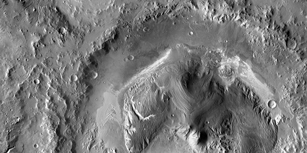
http://astrogeology.usgs.gov/maps/moon-zond8-historical-data-archivePhotographic hardcopy scans of 1970 photographs captured by a Soyuz 7K-L1 unmanned spacecraft on the soviet Zond8 mission. This data along with data from Apollo, Lunar Orbiter and Galileo missions is…