Products

18 Results Collapse
Moon LAC-104 Van de Graaff Nomenclature  thumbnail

Moon LAC-104 Van de Graaff Nomenclature

application/pdf 1 MBJan 25 2013

Planetary nomenclature, like terrestrial nomenclature, is used to uniquely identify a feature on the surface of a planet or satellite so that the feature can be easily located, described, and…

Moon LAC-86 Icarus Nomenclature  thumbnail

Moon LAC-86 Icarus Nomenclature

application/pdf 1 MBJan 25 2013

Planetary nomenclature, like terrestrial nomenclature, is used to uniquely identify a feature on the surface of a planet or satellite so that the feature can be easily located, described, and…

Moon LRO NAC DEM Aitken Crater 17S173E 150cmp thumbnail

Moon LRO NAC DEM Aitken Crater 17S173E 150cmp

image/tiff 852 MBMay 21 2011

This is a digital elevation model (DEM) extracted from the Lunar Reconnaissance Orbiter Camera (LROC) Narrow Angle Camera (NAC) stereo images from the Lunar Reconnaissance Orbiter mission. The…

Moon LRO NAC Slope Aitken Crater 17S173E 150cmp thumbnail

Moon LRO NAC Slope Aitken Crater 17S173E 150cmp

image/tiff 414 MBMay 21 2011

This is a slope-colorized shaded-relief of the digital elevation model (DEM) extracted from the Lunar Reconnaissance Orbiter Camera (LROC) Narrow Angle Camera (NAC) stereo images from the Lunar…

Moon LRO NAC Conf Aitken Crater 17S173E 150cmp thumbnail

Moon LRO NAC Conf Aitken Crater 17S173E 150cmp

image/tiff 43 MBMay 21 2011

This raster dataset represents a confidence value or figure of merit (FOM) for each pixel for the digital elevation model (DEM) as extracted from the Lunar Reconnaissance Orbiter Camera (LROC) Narrow…

Moon LRO NAC Mosaic Aitken Crater 17S173E 50cmp thumbnail

Moon LRO NAC Mosaic Aitken Crater 17S173E 50cmp

image/tiff 4 GBMay 21 2011

This is a visible image mosaic generated using Lunar Reconnaissance Orbiter Camera (LROC) Narrow Angle Camera (NAC) images from the Lunar Reconnaissance Orbiter mission. The images were…

Moon LRO NAC Shade Aitken Crater 17S173E 150cm thumbnail

Moon LRO NAC Shade Aitken Crater 17S173E 150cm

image/tiff 228 MBMay 21 2011

This is a shaded-relief of the digital elevation model (DEM) extracted from the Lunar Reconnaissance Orbiter Camera (LROC) Narrow Angle Camera (NAC) stereo images from the Lunar Reconnaissance…

Moon LRO NAC Color Shade Aitken Crater 17S173E 150cmp thumbnail

Moon LRO NAC Color Shade Aitken Crater 17S173E 150cmp

image/tiff 575 MBMay 21 2011

This is a colorized shaded-relief of the digital elevation model (DEM) extracted from the Lunar Reconnaissance Orbiter Camera (LROC) Narrow Angle Camera (NAC) stereo images from the Lunar…

Moon Color-Coded Topography and Shaded Relief Maps of the Lunar Hemispheres thumbnail

Moon Color-Coded Topography and Shaded Relief Maps of the Lunar Hemispheres

application/pdf 44 MBJan 02 2002

This publication is a set of three sheets of topographic maps that presents color-coded topographic data digitally merged with shaded relief data. Adopted figure: The figure for the Moon, used for…

Moon Clementine NIR Empirical Calibration 500m v1 thumbnail

Moon Clementine NIR Empirical Calibration 500m v1

application/isis 2 GB

Product Information: This mosaic represents a reduced-resolution version of the empirical calibration Clementine near-infrared (NIR) mosaic processed to 500 meters per pixel (m) spatial resolution…

Project Pages

2 Results Collapse
Moon Pyroclastic Volcanism Project thumbnail

Moon Pyroclastic Volcanism Project

http://astrogeology.usgs.gov/geology/moon-pyroclastic-volcanism-project

Project Overview The goal of this research project is to advance our understanding of pyroclastic volcanism on the Moon using remote sensing data, primarily the high-spatial-resolution (~100 m/pixel)…

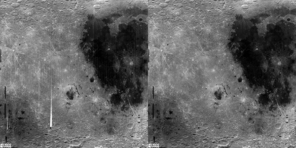
Moon Clementine NIR Global Map thumbnail

Moon Clementine NIR Global Map

http://astrogeology.usgs.gov/maps/moon-clementine-near-ir-global-map

Background In May and June of 1994, the NASA/DoD Clementine Mission acquired global, 11-band, multispectral data of the lunar surface using the ultraviolet-visible (UVVIS) and near-infrared (NIR)…

Documents

1 Result Collapse
ISPRS 2003 Low Resolution Planetary Experiments: Gridding and Mapping Routines using IDL thumbnail

ISPRS 2003 Low Resolution Planetary Experiments: Gridding and Mapping Routines using IDL

application/pdf 211 kB

We present a toolkit of routines for IDL. This toolkit converts a set of coordinates and data sorted by acquisition time into a map. It was developed at first for low-resolution data that require…