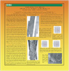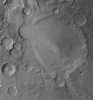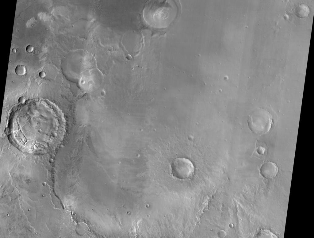
Meridiani Plnum MER Landing Site Ellipse THEMIS IR Mosaic
In 2003-2005, the USGS worked under the guidance of NASA's Mars Critical Data Products Initiative to conduct research on how controlled large area or global 2001 Mars Odyssey THEMIS IR image mosaics could be generated. The products listed here represent a sampling of the significant data files generated during that research.
- Mimetype
- application/isis
- Filename
- merid_uncontrolled_tone_mos.cub
- Originator
- USGS Astrogeology Science Center
- Group
- Added to Astropedia
- 10 June 2013
- Modified
- 9 July 2013
General
- Geospatial Data Presentation Form
- Regional Mosaic
- Native Data Set Environment
- ISIS v3
Keywords
- Target
- Mars
- Theme
- Landing sites
- Mission
- Mars Odyssey
- Instrument
- THEMIS
Geospatial Information
- Direct Spatial Reference Method
- Raster
- Object Type
- Pixel
- Quad Name
- Horizontal Coordinate System Units
- Meters