The Valles Marineris is a system of canyons located just south of the Martian equator. The system is about 4000 km long, and, if on earth, would extend all the way across the United States. The central individual troughs, generally 50 to 100 km wide, merge into a depression as much as 600 km wide. In places the canyon floor reaches a depth of 10 km, 6 to 7 times deeper than the Grand Canyon.
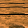
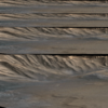
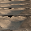
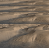
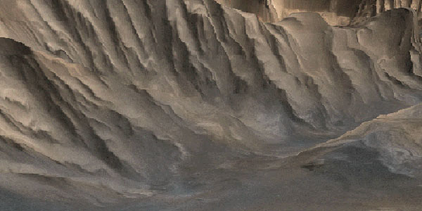
The geologic history of the central canyon system is complex: first the surface collapsed into a few deep depressions that later became filled with layered material, perhaps as lake deposits. Then graben-forming faults cut across some of the older troughs thus widening existing troughs, breaching barriers between troughs, and forming additional ones. At that time the interior deposits were locally bent and tilted, and perhaps water, if still present, spilled out and flowed toward the outflow channels. Huge landslides fell into the voids created by the new grabens. Wind-drifted material, mostly dark in color, apparently still moves along the canyon floor and locally forms conspicuous dunes.
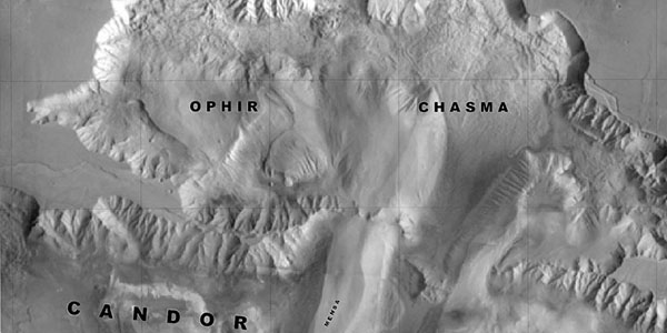
We have created images of the martian canyon, primarily in the central region, Ophir and Candor Chasmata, by merging Viking images with topographic maps. Maps of Ophir and central Candor Chasmata are derived from stereo images by photogrammetry. They have 200-m contour interval, except for local gaps that have 1-km contour interval. West Candor Chasma has 1-km contour interval.
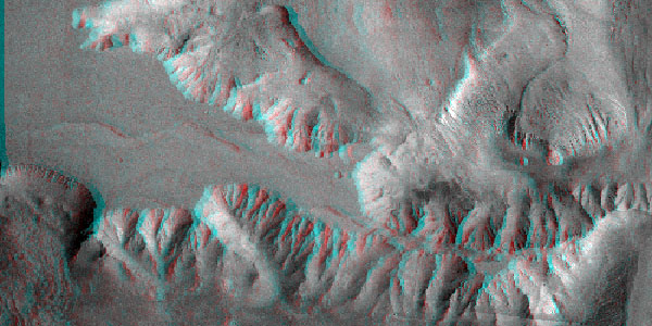
The three-dimensional anaglyph images generated using locally produced MIPS software (Mini Image Processing System) require red and blue glasses to view. A Geographic Information System (GIS) software package (ArcInfo) was used to super-impose several layers of information, specifically geologic units, geologic structures, images, and topography.